UN/LOCODE hub · Estonia
EENJD

Nasva Jõesadam

58.2333°, 22.3833°
1
Transport functions

Transport Functions

Port
UN/LOCODE

Hub Profile

Region
74
GeoNames

Location

Location of EENJD
Natural Earth 10m (public domain) · 74 · EENJD · 58.23, 22.38GoogleOSMYandex

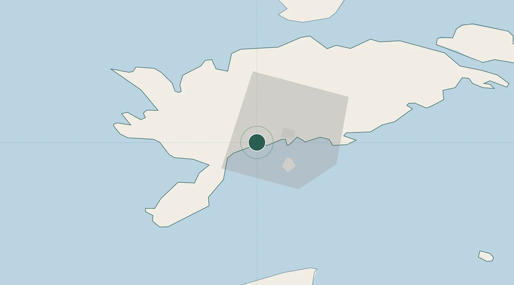
Nearby Logistics Neighbours

Cities
  1. 1Ahoi Jõesadam2 km
  2. 2Nasva2 km
  3. 3Kuressaare sadam5 km
  4. 4Tori Jõesadam5 km
  5. 5Kuressaare7 km
Nearest neighbours — logibook spatial index (haversine) over the source coordinates
Ports
  1. 1Roomassaare8 km
  2. 2Saaremaa sadam35 km
  3. 3Virtsu76 km
  4. 4Heltermaa80 km
  5. 5Rohukula96 km
Nearest neighbours — logibook spatial index (haversine) over the source coordinates
Airports
  1. 1Kuressaare Airport7 km
  2. 2Ruhnu Airfield72 km
  3. 3Kärdla Airport88 km
  4. 4Pärnu Airport124 km
  5. 5Jūrmala Airport152 km
Nearest neighbours — logibook spatial index (haversine) over the source coordinates
Trade Zones
  1. 1Free port of Ventspils106 km
  2. 2Paldiski Free Zone157 km
  3. 3Free Port of Riga175 km
  4. 4Freeport of Hanko180 km
  5. 5Muuga Free Zone192 km
Nearest neighbours — logibook spatial index (haversine) over the source coordinates
DatabookThe Record of Consolidated Knowledge
Estonia beyond logistics?
Browse databook

All Sources

LocationsUN/LOCODE
UN/LOCODE — free
Portsthe NGA World Port Index
Public domain (US gov)
AirportsOurAirports
Public domain
Trade Zonesthe World Bank SEZ database
CC BY 4.0
Trade ZonesOpen Zone Map
CC BY
← Estonia locations