Transport Functions
Port
Border Crossing
Hub Profile
Place type
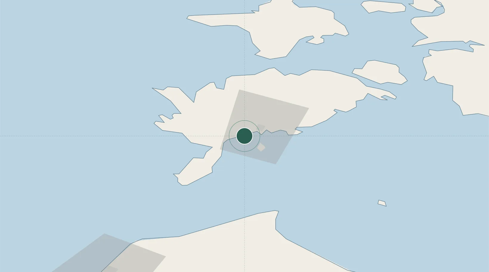
Populated place
Region
Saare
Population
330
Time zone
Europe/Tallinn
Elevation
4 m
Location
Nearby Logistics Neighbours
Cities
- 1Ahoi Jõesadam2 km
- 2Nasva Jõesadam2 km
- 3Kuressaare sadam5 km
- 4Tori Jõesadam5 km
- 5Roomassaare6 km
Ports
- 1Roomassaare6 km
- 2Saaremaa sadam37 km
- 3Virtsu76 km
- 4Heltermaa82 km
- 5Rohukula97 km
Airports
- 1Kuressaare Airport7 km
- 2Ruhnu Airfield70 km
- 3Kärdla Airport90 km
- 4Pärnu Airport123 km
- 5Jūrmala Airport150 km
Trade Zones
- 1Free port of Ventspils105 km
- 2Paldiski Free Zone157 km
- 3Free Port of Riga173 km
- 4Freeport of Hanko182 km
- 5Muuga Free Zone193 km
DatabookThe Record of Consolidated Knowledge
Estonia beyond logistics?