Transport Functions
Port
Hub Profile
Place type
Populated place
Region
Saare
Population
109
Time zone
Europe/Tallinn
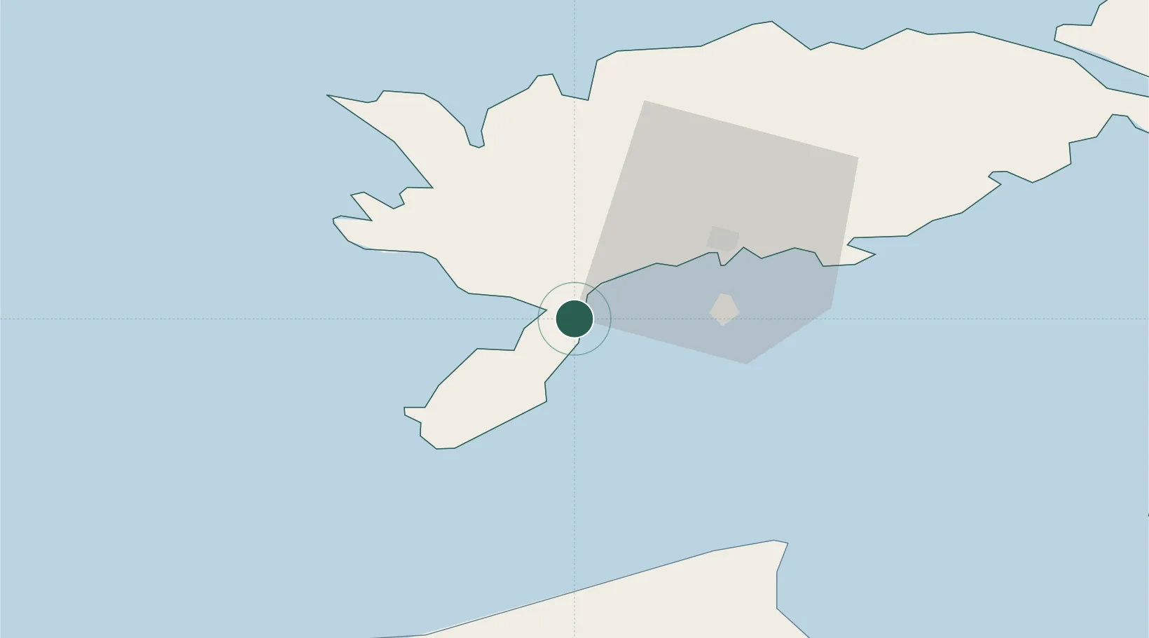
Location
Nearby Logistics Neighbours
Cities
- 1Salme Jõesadam4 km
- 2Lõmala9 km
- 3Ahoi Jõesadam12 km
- 4Nasva13 km
- 5Nasva Jõesadam14 km
Ports
- 1Roomassaare18 km
- 2Saaremaa sadam45 km
- 3Virtsu88 km
- 4Ventspils92 km
- 5Heltermaa94 km
Airports
- 1Kuressaare Airport19 km
- 2Ruhnu Airfield71 km
- 3Kärdla Airport101 km
- 4Pärnu Airport134 km
- 5Jūrmala Airport145 km
Trade Zones
- 1Free port of Ventspils92 km
- 2Paldiski Free Zone170 km
- 3Free Port of Riga171 km
- 4Freeport of Hanko192 km
- 5Muuga Free Zone205 km
DatabookThe Record of Consolidated Knowledge
Estonia beyond logistics?