UN/LOCODE hub · Estonia
EEAHO

Ahoi Jõesadam

58.2167°, 22.3667°
1
Transport functions

Transport Functions

Port
UN/LOCODE

Hub Profile

Region
74
GeoNames

Location

Location of EEAHO
Natural Earth 10m (public domain) · 74 · EEAHO · 58.22, 22.37GoogleOSMYandex

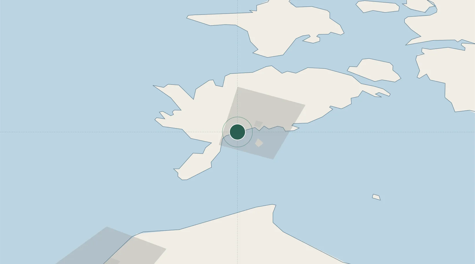
Nearby Logistics Neighbours

Cities
  1. 1Nasva2 km
  2. 2Nasva Jõesadam2 km
  3. 3Kuressaare sadam7 km
  4. 4Tori Jõesadam7 km
  5. 5Roomassaare8 km
Nearest neighbours — logibook spatial index (haversine) over the source coordinates
Ports
  1. 1Roomassaare8 km
  2. 2Saaremaa sadam36 km
  3. 3Virtsu78 km
  4. 4Heltermaa82 km
  5. 5Rohukula98 km
Nearest neighbours — logibook spatial index (haversine) over the source coordinates
Airports
  1. 1Kuressaare Airport9 km
  2. 2Ruhnu Airfield71 km
  3. 3Kärdla Airport90 km
  4. 4Pärnu Airport125 km
  5. 5Jūrmala Airport151 km
Nearest neighbours — logibook spatial index (haversine) over the source coordinates
Trade Zones
  1. 1Free port of Ventspils104 km
  2. 2Paldiski Free Zone159 km
  3. 3Free Port of Riga174 km
  4. 4Freeport of Hanko182 km
  5. 5Muuga Free Zone194 km
Nearest neighbours — logibook spatial index (haversine) over the source coordinates
DatabookThe Record of Consolidated Knowledge
Estonia beyond logistics?
Browse databook

All Sources

LocationsUN/LOCODE
UN/LOCODE — free
Portsthe NGA World Port Index
Public domain (US gov)
AirportsOurAirports
Public domain
Trade Zonesthe World Bank SEZ database
CC BY 4.0
Trade ZonesOpen Zone Map
CC BY
← Estonia locations