Transport Functions
Port
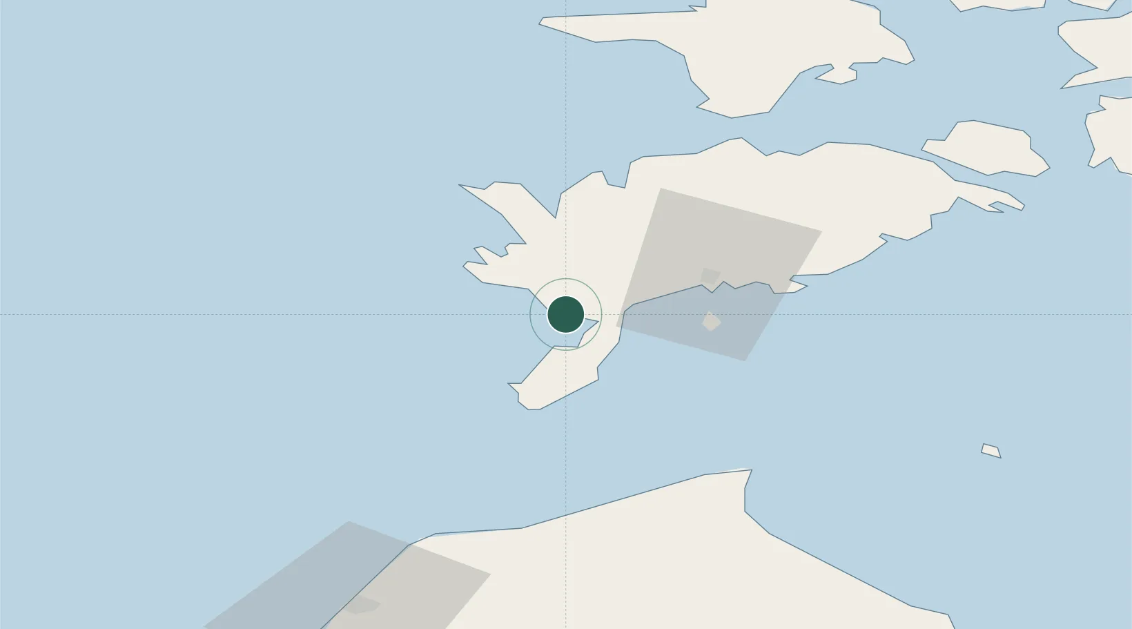
Hub Profile
Place type
Populated place
Region
Saare
Time zone
Europe/Tallinn
Elevation
9 m
Location
Nearby Logistics Neighbours
Cities
- 1Salme Jõesadam8 km
- 2Läätsa9 km
- 3Kaunispe13 km
- 4Ahoi Jõesadam16 km
- 5Nasva Jõesadam17 km
Ports
- 1Roomassaare24 km
- 2Saaremaa sadam42 km
- 3Ventspils92 km
- 4Virtsu93 km
- 5Heltermaa95 km
Airports
- 1Kuressaare Airport24 km
- 2Ruhnu Airfield80 km
- 3Kärdla Airport101 km
- 4Pärnu Airport141 km
- 5Jūrmala Airport151 km
Trade Zones
- 1Free port of Ventspils92 km
- 2Paldiski Free Zone172 km
- 3Free Port of Riga179 km
- 4Freeport of Hanko190 km
- 5Muuga Free Zone209 km
DatabookThe Record of Consolidated Knowledge
Estonia beyond logistics?