Transport Functions
Port
Hub Profile
Region
74
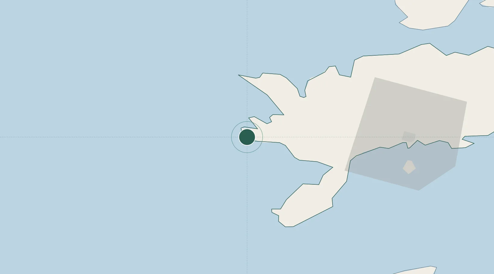
Location
Nearby Logistics Neighbours
Cities
- 1Atla4 km
- 2Vikati Sadam11 km
- 3Papissaare Sadam13 km
- 4Abaja Sadam14 km
- 5Lõmala18 km
Ports
- 1Saaremaa sadam37 km
- 2Roomassaare38 km
- 3Heltermaa96 km
- 4Ventspils98 km
- 5Virtsu102 km
Airports
- 1Kuressaare Airport38 km
- 2Kärdla Airport98 km
- 3Ruhnu Airfield98 km
- 4Pärnu Airport153 km
- 5Jūrmala Airport168 km
Trade Zones
- 1Free port of Ventspils98 km
- 2Paldiski Free Zone174 km
- 3Freeport of Hanko183 km
- 4Free Port of Riga197 km
- 5Muuga Free Zone214 km
DatabookThe Record of Consolidated Knowledge
Estonia beyond logistics?