Transport Functions
Port
Hub Profile
Place type
Populated place
Region
Saare
Time zone
Europe/Tallinn
Elevation
13 m
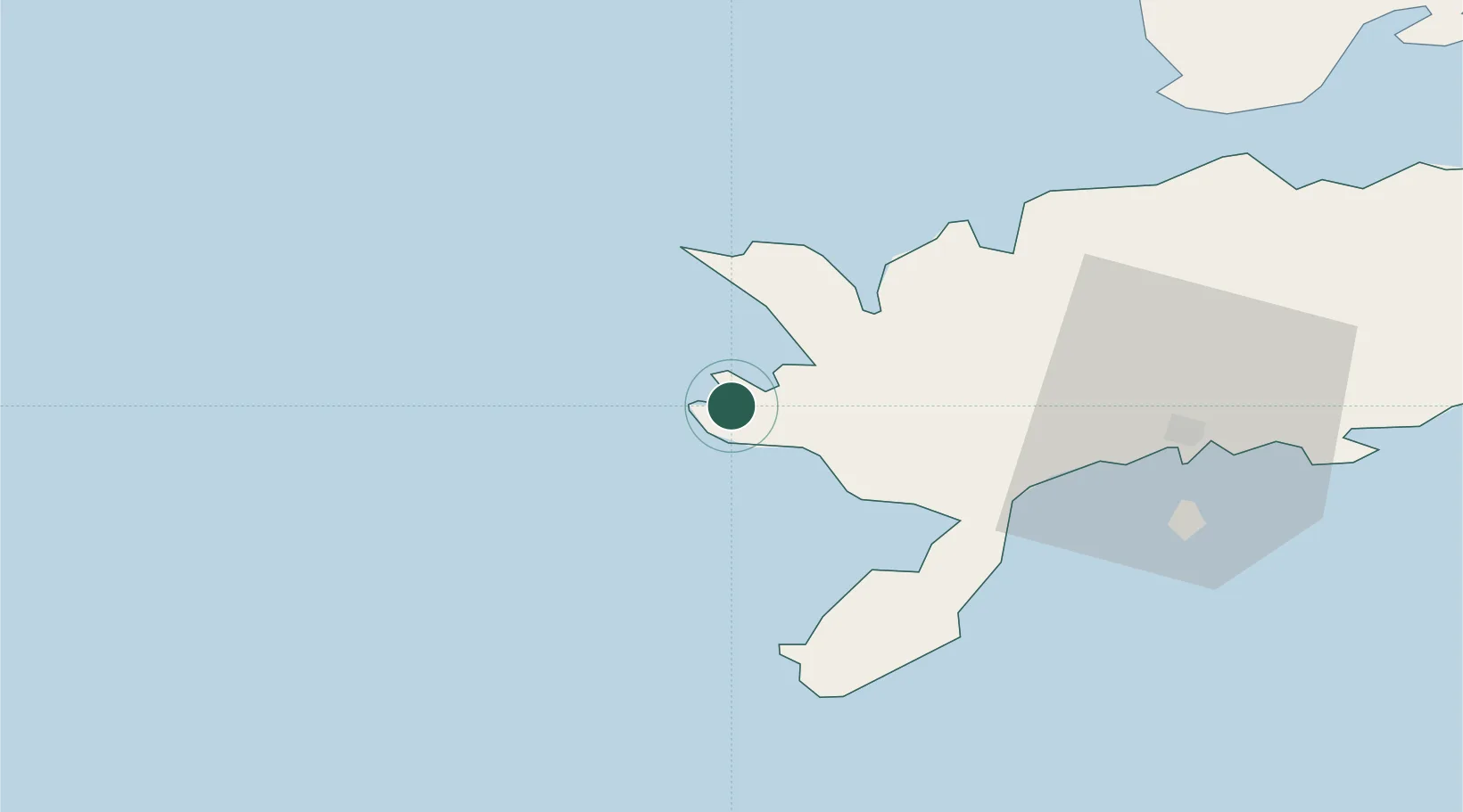
Location
Nearby Logistics Neighbours
Cities
- 1Roopa4 km
- 2Vikati Sadam8 km
- 3Papissaare Sadam9 km
- 4Abaja Sadam10 km
- 5Lõmala20 km
Ports
- 1Saaremaa sadam33 km
- 2Roomassaare37 km
- 3Heltermaa92 km
- 4Virtsu99 km
- 5Ventspils102 km
Airports
- 1Kuressaare Airport37 km
- 2Kärdla Airport94 km
- 3Ruhnu Airfield99 km
- 4Pärnu Airport151 km
- 5Jūrmala Airport170 km
Trade Zones
- 1Free port of Ventspils103 km
- 2Paldiski Free Zone170 km
- 3Freeport of Hanko179 km
- 4Free Port of Riga199 km
- 5Muuga Free Zone211 km
DatabookThe Record of Consolidated Knowledge
Estonia beyond logistics?