UN/LOCODE hub · Estonia
EEPAP

Papissaare Sadam

58.3667°, 21.9833°
1
Transport functions

Transport Functions

Port
UN/LOCODE

Hub Profile

Region
74
GeoNames

Location

Location of EEPAP
Natural Earth 10m (public domain) · 74 · EEPAP · 58.37, 21.98GoogleOSMYandex

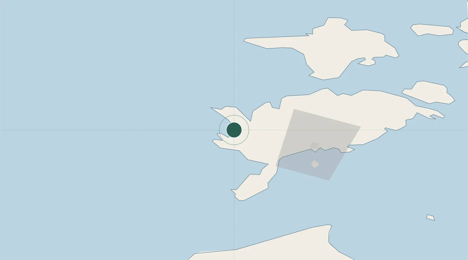
Nearby Logistics Neighbours

Cities
  1. 1Abaja Sadam2 km
  2. 2Vikati Sadam7 km
  3. 3Atla9 km
  4. 4Veere12 km
  5. 5Veere Vanasadam12 km
Nearest neighbours — logibook spatial index (haversine) over the source coordinates
Ports
  1. 1Saaremaa sadam24 km
  2. 2Roomassaare35 km
  3. 3Heltermaa83 km
  4. 4Virtsu92 km
  5. 5Rohukula103 km
Nearest neighbours — logibook spatial index (haversine) over the source coordinates
Airports
  1. 1Kuressaare Airport34 km
  2. 2Kärdla Airport85 km
  3. 3Ruhnu Airfield99 km
  4. 4Pärnu Airport145 km
  5. 5Ämari Air Base162 km
Nearest neighbours — logibook spatial index (haversine) over the source coordinates
Trade Zones
  1. 1Free port of Ventspils111 km
  2. 2Paldiski Free Zone162 km
  3. 3Freeport of Hanko171 km
  4. 4Free Port of Riga201 km
  5. 5Muuga Free Zone203 km
Nearest neighbours — logibook spatial index (haversine) over the source coordinates
DatabookThe Record of Consolidated Knowledge
Estonia beyond logistics?
Browse databook

All Sources

LocationsUN/LOCODE
UN/LOCODE — free
Portsthe NGA World Port Index
Public domain (US gov)
AirportsOurAirports
Public domain
Trade Zonesthe World Bank SEZ database
CC BY 4.0
Trade ZonesOpen Zone Map
CC BY
← Estonia locations