UN/LOCODE hub · Estonia
EEABJ

Abaja Sadam

58.3667°, 22.0167°
1
Transport functions

Transport Functions

Port
UN/LOCODE

Hub Profile

Region
74
GeoNames

Location

Location of EEABJ
Natural Earth 10m (public domain) · 74 · EEABJ · 58.37, 22.02GoogleOSMYandex

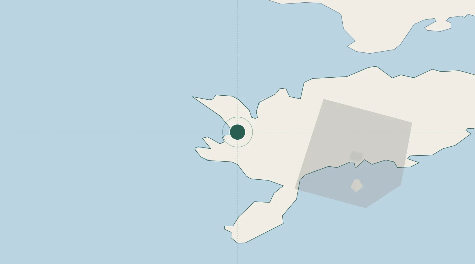
Nearby Logistics Neighbours

Cities
  1. 1Papissaare Sadam2 km
  2. 2Vikati Sadam9 km
  3. 3Atla10 km
  4. 4Veere11 km
  5. 5Veere Vanasadam11 km
Nearest neighbours — logibook spatial index (haversine) over the source coordinates
Ports
  1. 1Saaremaa sadam23 km
  2. 2Roomassaare33 km
  3. 3Heltermaa82 km
  4. 4Virtsu90 km
  5. 5Rohukula101 km
Nearest neighbours — logibook spatial index (haversine) over the source coordinates
Airports
  1. 1Kuressaare Airport33 km
  2. 2Kärdla Airport84 km
  3. 3Ruhnu Airfield98 km
  4. 4Pärnu Airport143 km
  5. 5Ämari Air Base160 km
Nearest neighbours — logibook spatial index (haversine) over the source coordinates
Trade Zones
  1. 1Free port of Ventspils111 km
  2. 2Paldiski Free Zone160 km
  3. 3Freeport of Hanko170 km
  4. 4Free Port of Riga200 km
  5. 5Muuga Free Zone201 km
Nearest neighbours — logibook spatial index (haversine) over the source coordinates
DatabookThe Record of Consolidated Knowledge
Estonia beyond logistics?
Browse databook

All Sources

LocationsUN/LOCODE
UN/LOCODE — free
Portsthe NGA World Port Index
Public domain (US gov)
AirportsOurAirports
Public domain
Trade Zonesthe World Bank SEZ database
CC BY 4.0
Trade ZonesOpen Zone Map
CC BY
← Estonia locations