UN/LOCODE hub · Estonia
EEVIK

Vikati Sadam

58.3667°, 21.8667°
1
Transport functions

Transport Functions

Port
UN/LOCODE

Hub Profile

Region
74
GeoNames

Location

Location of EEVIK
Natural Earth 10m (public domain) · 74 · EEVIK · 58.37, 21.87GoogleOSMYandex

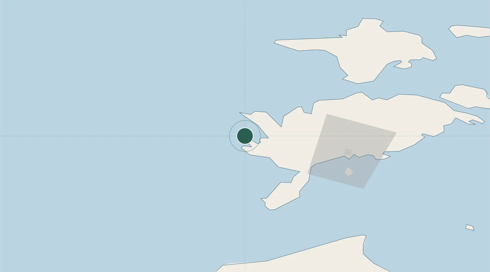
Nearby Logistics Neighbours

Cities
  1. 1Papissaare Sadam7 km
  2. 2Atla8 km
  3. 3Abaja Sadam9 km
  4. 4Roopa11 km
  5. 5Veere15 km
Nearest neighbours — logibook spatial index (haversine) over the source coordinates
Ports
  1. 1Saaremaa sadam29 km
  2. 2Roomassaare41 km
  3. 3Heltermaa88 km
  4. 4Virtsu98 km
  5. 5Rohukula108 km
Nearest neighbours — logibook spatial index (haversine) over the source coordinates
Airports
  1. 1Kuressaare Airport41 km
  2. 2Kärdla Airport89 km
  3. 3Ruhnu Airfield104 km
  4. 4Pärnu Airport152 km
  5. 5Ämari Air Base167 km
Nearest neighbours — logibook spatial index (haversine) over the source coordinates
Trade Zones
  1. 1Free port of Ventspils109 km
  2. 2Paldiski Free Zone167 km
  3. 3Freeport of Hanko173 km
  4. 4Free Port of Riga205 km
  5. 5Muuga Free Zone208 km
Nearest neighbours — logibook spatial index (haversine) over the source coordinates
DatabookThe Record of Consolidated Knowledge
Estonia beyond logistics?
Browse databook

All Sources

LocationsUN/LOCODE
UN/LOCODE — free
Portsthe NGA World Port Index
Public domain (US gov)
AirportsOurAirports
Public domain
Trade Zonesthe World Bank SEZ database
CC BY 4.0
Trade ZonesOpen Zone Map
CC BY
← Estonia locations