UN/LOCODE hub · Estonia
EEMNV

Mõntu Väikelaevade Sadam

57.9500°, 22.1167°
1
Transport functions

Transport Functions

Port
UN/LOCODE

Hub Profile

Region
74
GeoNames

Location

Location of EEMNV
Natural Earth 10m (public domain) · 74 · EEMNV · 57.95, 22.12GoogleOSMYandex

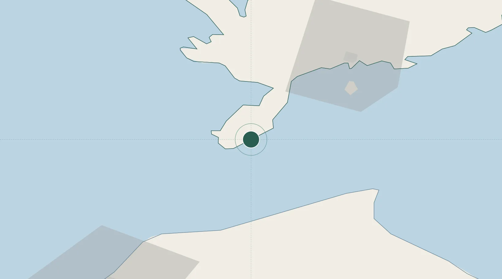
Nearby Logistics Neighbours

Cities
  1. 1Mõntu1 km
  2. 2Kaavi Paadisadam6 km
  3. 3Kaunispe12 km
  4. 4Läätsa22 km
  5. 5Lõmala24 km
Nearest neighbours — logibook spatial index (haversine) over the source coordinates
Ports
  1. 1Roomassaare37 km
  2. 2Saaremaa sadam66 km
  3. 3Ventspils70 km
  4. 4Virtsu107 km
  5. 5Heltermaa116 km
Nearest neighbours — logibook spatial index (haversine) over the source coordinates
Airports
  1. 1Kuressaare Airport39 km
  2. 2Ruhnu Airfield70 km
  3. 3Kärdla Airport123 km
  4. 4Jūrmala Airport130 km
  5. 5Pärnu Airport148 km
Nearest neighbours — logibook spatial index (haversine) over the source coordinates
Trade Zones
  1. 1Free port of Ventspils71 km
  2. 2Free Port of Riga162 km
  3. 3Paldiski Free Zone191 km
  4. 4Akmenė Free Economic Zone193 km
  5. 5Liepāja SEZ195 km
Nearest neighbours — logibook spatial index (haversine) over the source coordinates
DatabookThe Record of Consolidated Knowledge
Estonia beyond logistics?
Browse databook

All Sources

LocationsUN/LOCODE
UN/LOCODE — free
Portsthe NGA World Port Index
Public domain (US gov)
AirportsOurAirports
Public domain
Trade Zonesthe World Bank SEZ database
CC BY 4.0
Trade ZonesOpen Zone Map
CC BY
← Estonia locations