Transport Functions
Port
Border Crossing
Hub Profile
Place type
Populated place
Region
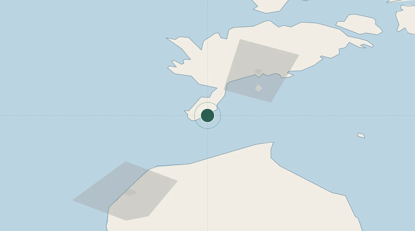
Saare
Time zone
Europe/Tallinn
Elevation
10 m
Location
Nearby Logistics Neighbours
Cities
- 1Mõntu Väikelaevade Sadam1 km
- 2Kaavi Paadisadam5 km
- 3Kaunispe12 km
- 4Läätsa22 km
- 5Lõmala24 km
Ports
- 1Roomassaare37 km
- 2Saaremaa sadam66 km
- 3Ventspils71 km
- 4Virtsu106 km
- 5Heltermaa115 km
Airports
- 1Kuressaare Airport38 km
- 2Ruhnu Airfield69 km
- 3Kärdla Airport123 km
- 4Jūrmala Airport130 km
- 5Pärnu Airport147 km
Trade Zones
- 1Free port of Ventspils71 km
- 2Free Port of Riga161 km
- 3Paldiski Free Zone191 km
- 4Akmenė Free Economic Zone193 km
- 5Liepāja SEZ195 km
DatabookThe Record of Consolidated Knowledge
Estonia beyond logistics?