UN/LOCODE hub · Estonia
EEKVI

Kaavi Paadisadam

57.9833°, 22.2000°
1
Transport functions

Transport Functions

Port
UN/LOCODE

Hub Profile

Region
74
GeoNames

Location

Location of EEKVI
Natural Earth 10m (public domain) · 74 · EEKVI · 57.98, 22.20GoogleOSMYandex

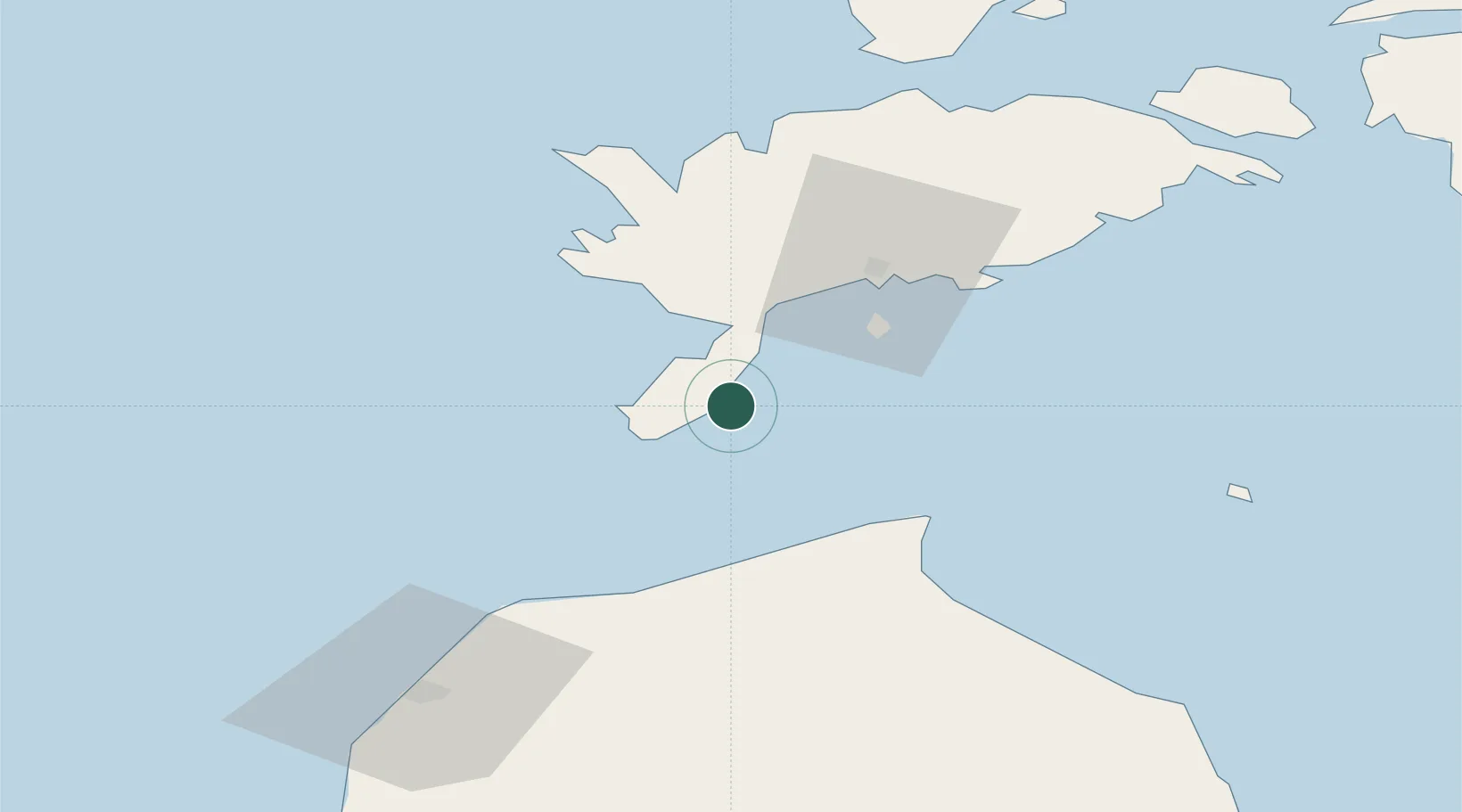
Nearby Logistics Neighbours

Cities
  1. 1Mõntu5 km
  2. 2Mõntu Väikelaevade Sadam6 km
  3. 3Kaunispe11 km
  4. 4Läätsa17 km
  5. 5Salme Jõesadam21 km
Nearest neighbours — logibook spatial index (haversine) over the source coordinates
Ports
  1. 1Roomassaare32 km
  2. 2Saaremaa sadam62 km
  3. 3Ventspils76 km
  4. 4Virtsu101 km
  5. 5Heltermaa110 km
Nearest neighbours — logibook spatial index (haversine) over the source coordinates
Airports
  1. 1Kuressaare Airport33 km
  2. 2Ruhnu Airfield67 km
  3. 3Kärdla Airport118 km
  4. 4Jūrmala Airport131 km
  5. 5Pärnu Airport142 km
Nearest neighbours — logibook spatial index (haversine) over the source coordinates
Trade Zones
  1. 1Free port of Ventspils76 km
  2. 2Free Port of Riga161 km
  3. 3Paldiski Free Zone185 km
  4. 4Akmenė Free Economic Zone196 km
  5. 5Liepāja SEZ200 km
Nearest neighbours — logibook spatial index (haversine) over the source coordinates
DatabookThe Record of Consolidated Knowledge
Estonia beyond logistics?
Browse databook

All Sources

LocationsUN/LOCODE
UN/LOCODE — free
Portsthe NGA World Port Index
Public domain (US gov)
AirportsOurAirports
Public domain
Trade Zonesthe World Bank SEZ database
CC BY 4.0
Trade ZonesOpen Zone Map
CC BY
← Estonia locations