Transport Functions
Port
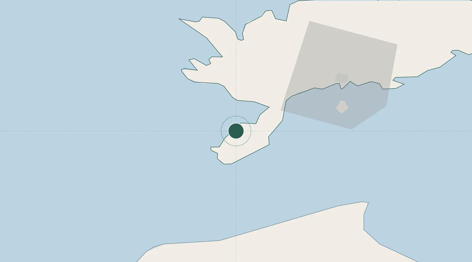
Hub Profile
Place type
Populated place
Region
Saare
Time zone
Europe/Tallinn
Elevation
25 m
Location
Nearby Logistics Neighbours
Cities
- 1Kaavi Paadisadam11 km
- 2Mõntu Väikelaevade Sadam12 km
- 3Mõntu12 km
- 4Lõmala13 km
- 5Läätsa14 km
Ports
- 1Roomassaare32 km
- 2Saaremaa sadam55 km
- 3Ventspils79 km
- 4Virtsu103 km
- 5Heltermaa107 km
Airports
- 1Kuressaare Airport33 km
- 2Ruhnu Airfield77 km
- 3Kärdla Airport114 km
- 4Jūrmala Airport141 km
- 5Pärnu Airport147 km
Trade Zones
- 1Free port of Ventspils79 km
- 2Free Port of Riga172 km
- 3Paldiski Free Zone184 km
- 4Freeport of Hanko203 km
- 5Liepāja SEZ204 km
DatabookThe Record of Consolidated Knowledge
Estonia beyond logistics?