Transport Functions
Road
Multimodal
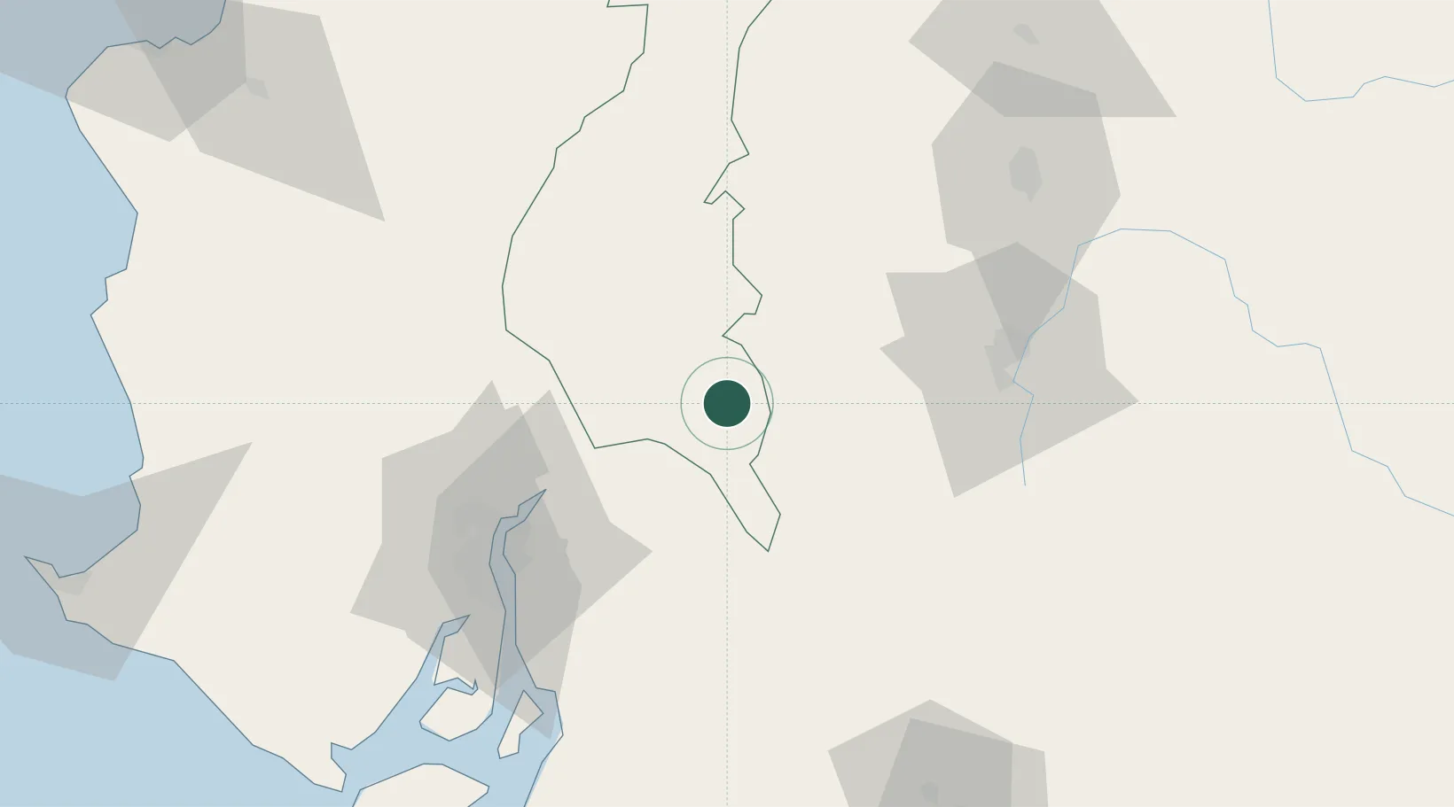
Hub Profile
Place type
Populated place
Region
Los Ríos
Population
15,547
Time zone
America/Guayaquil
Elevation
65 m
Location
Nearby Logistics Neighbours
Cities
- 1Simón Bolívar29 km
- 2Naranjito49 km
- 3Yaguachi53 km
- 4La Puntilla71 km
- 5Durán71 km
Ports
- 1Guayaquil76 km
- 2Puerto Maritimo De Guayaquil83 km
- 3Puerto Bolivar179 km
- 4Manta181 km
- 5La Libertad182 km
Airports
Trade Zones
- 1Zona Franca Esmeraldas77 km
- 2Contecon Guayaquil Free Zone83 km
- 3DP World Posorja142 km
- 4Posorja ZofraPort SA Free Zone143 km
- 5Zona Franca Manabí175 km
DatabookThe Record of Consolidated Knowledge
Ecuador beyond logistics?