Transport Functions
Multimodal
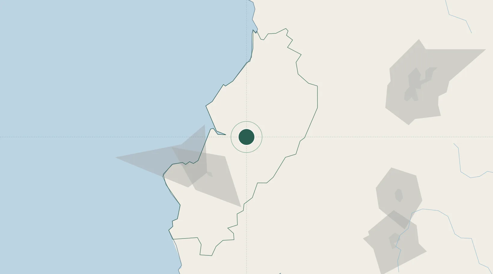
Hub Profile
Place type
Provincial seat
Region
Manabí
Population
44,751
Time zone
America/Guayaquil
Elevation
102 m
Location
Nearby Logistics Neighbours
Cities
- 1Bahía de Caráquez47 km
- 2Velasco Ibarra68 km
- 3Guayas69 km
- 4Montecristi75 km
- 5Manta75 km
Ports
- 1Manta75 km
- 2Guayaquil170 km
- 3Puerto Maritimo De Guayaquil179 km
- 4La Libertad193 km
- 5Esmeraldas194 km
Airports
Trade Zones
- 1Zona Franca Manabí74 km
- 2Zona Franca de Manta78 km
- 3Zona Franca Esmeraldas166 km
- 4Contecon Guayaquil Free Zone179 km
- 5Zona Franca Millestonecorp188 km
DatabookThe Record of Consolidated Knowledge
Ecuador beyond logistics?