Transport Functions
Multimodal
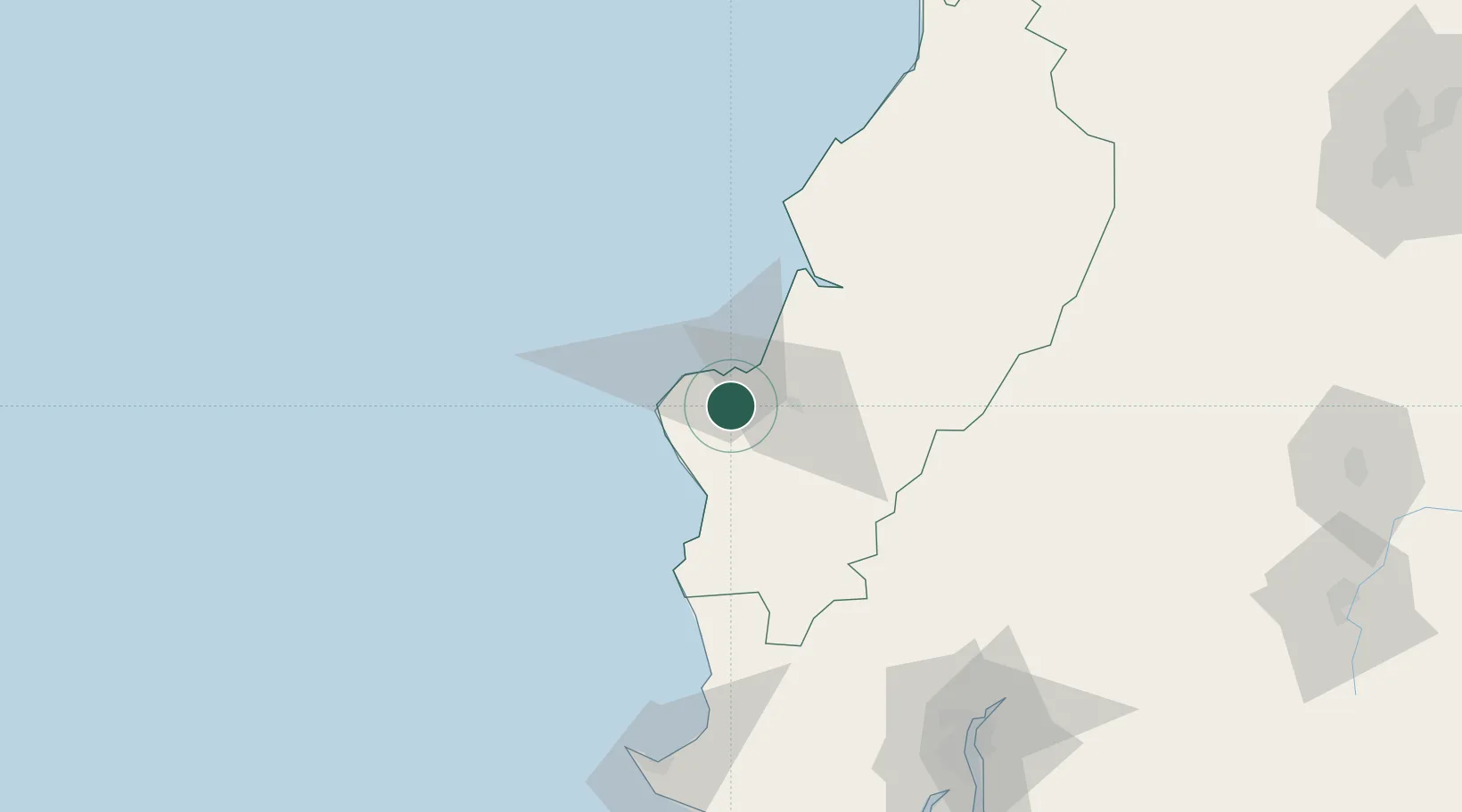
Hub Profile
Place type
Populated place
Region
Manabí
Population
18,351
Time zone
America/Guayaquil
Elevation
135 m
Location
Nearby Logistics Neighbours
Cities
- 1Manta14 km
- 2Jipijapa33 km
- 3Bahía de Caráquez59 km
- 4Chone75 km
- 5Velasco Ibarra117 km
Ports
- 1Manta12 km
- 2La Libertad133 km
- 3Guayaquil155 km
- 4Puerto Maritimo De Guayaquil162 km
- 5Esmeraldas254 km
Airports
Trade Zones
- 1Zona Franca Manabí7 km
- 2Zona Franca de Manta12 km
- 3Zona Franca Esmeraldas149 km
- 4Contecon Guayaquil Free Zone161 km
- 5DP World Posorja189 km
DatabookThe Record of Consolidated Knowledge
Ecuador beyond logistics?