UN/LOCODE hub · Ecuador
ECBHA
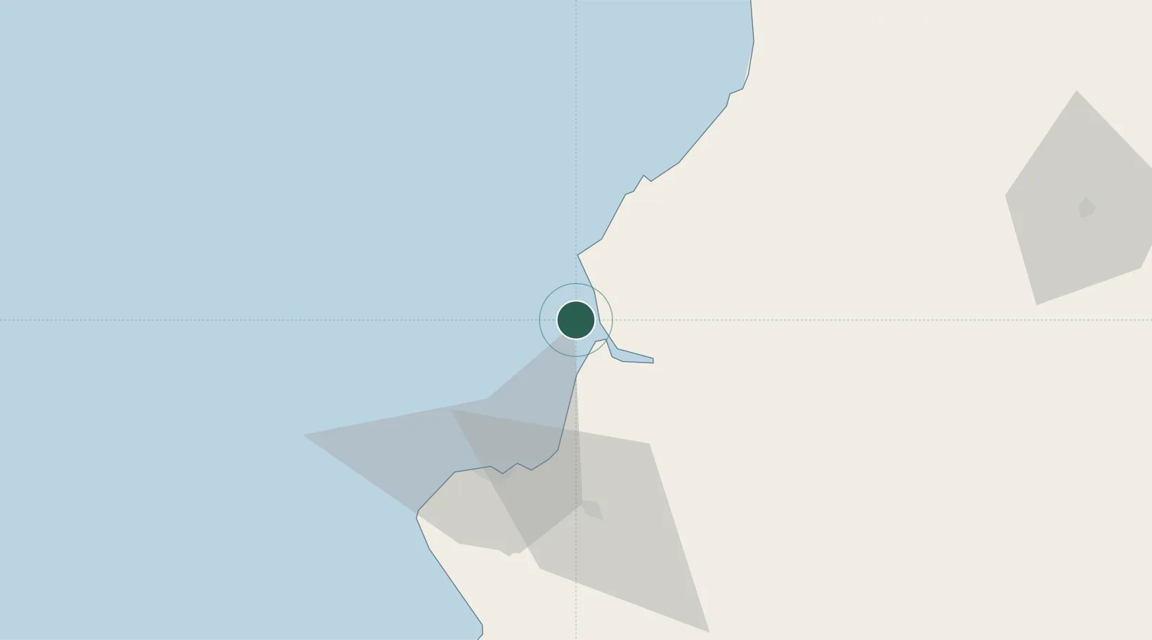
Bahía de Caráquez
-0.5500°, -80.5000°
37,056
Population
2
Transport functions
Transport Functions
Port
Airport
Hub Profile
Place type
Provincial seat
Region
Manabí
Population
37,056
Time zone
America/Guayaquil
Location
Nearby Logistics Neighbours
Cities
- 1Chone47 km
- 2Manta50 km
- 3Montecristi59 km
- 4Jipijapa88 km
- 5Velasco Ibarra113 km
Ports
- 1Manta51 km
- 2La Libertad191 km
- 3Guayaquil196 km
- 4Esmeraldas197 km
- 5Puerto Maritimo De Guayaquil204 km
Airports
Trade Zones
- 1Zona Franca de Manta53 km
- 2Zona Franca Manabí54 km
- 3Zona Franca Esmeraldas190 km
- 4Contecon Guayaquil Free Zone203 km
- 5Zona Franca Millestonecorp228 km
DatabookThe Record of Consolidated Knowledge
Ecuador beyond logistics?