Transport Functions
Road
Airport
Multimodal
Hub Profile
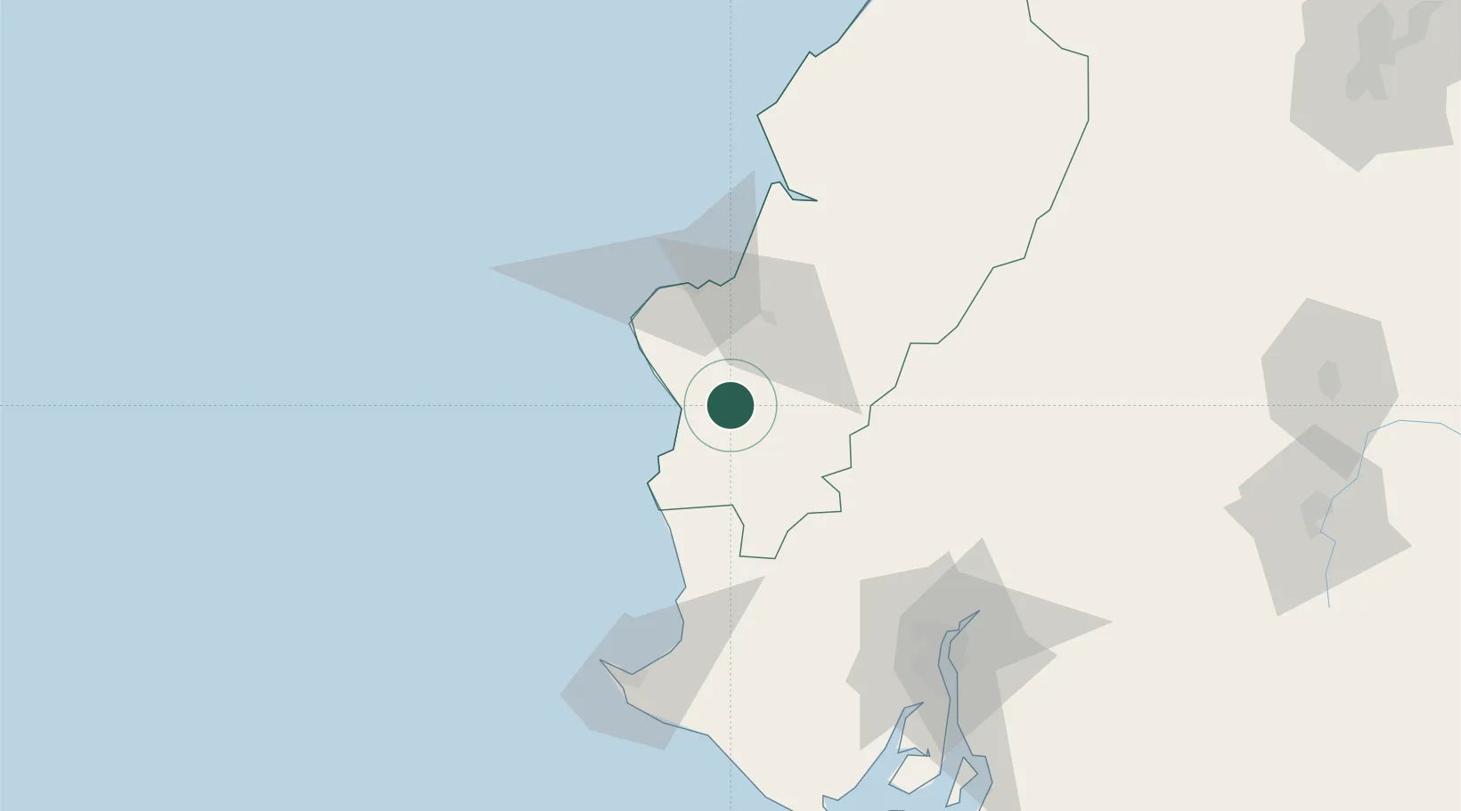
Place type
Provincial seat
Region
Manabí
Population
35,901
Time zone
America/Guayaquil
Elevation
287 m
Location
Nearby Logistics Neighbours
Cities
- 1Montecristi33 km
- 2Manta47 km
- 3Milagro86 km
- 4Bahía de Caráquez88 km
- 5Chone90 km
Ports
- 1Manta45 km
- 2La Libertad105 km
- 3Guayaquil124 km
- 4Puerto Maritimo De Guayaquil130 km
- 5Puerto Bolivar225 km
Airports
Trade Zones
- 1Zona Franca Manabí39 km
- 2Zona Franca de Manta44 km
- 3Zona Franca Esmeraldas118 km
- 4Contecon Guayaquil Free Zone130 km
- 5DP World Posorja156 km
DatabookThe Record of Consolidated Knowledge
Ecuador beyond logistics?