Free Trade Zone · Dominican Republic

Zona Franca International Port Services Inactive
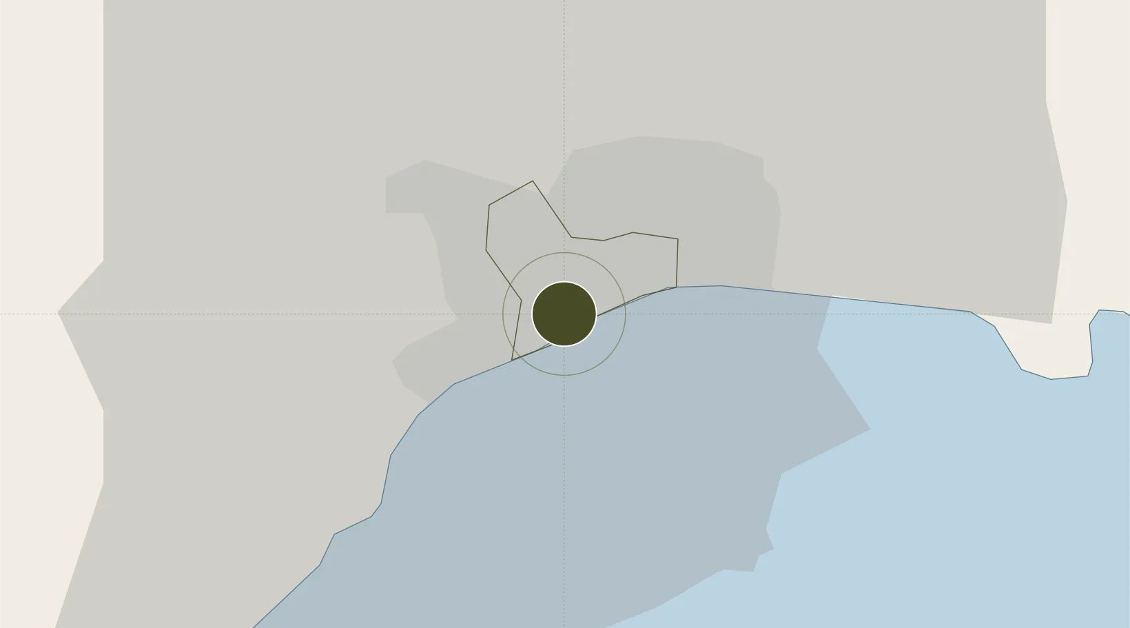
18.4545°, -69.9485°
4 ha
Zone area
7.0 km
Nearest port
13.7 km
Nearest airport

Gateway access

Nearest neighbours — logibook spatial index (haversine) over the source coordinates

Zone profile

Zone type
Free Trade Zone
Open Zone Map
Region
Distrito Nacional
Open Zone Map
Status
Inactive
Open Zone Map
Management
Public-Private Partnership
Open Zone Map
Operator
Raices Construction, S.A.
Open Zone Map
Legal framework
Law 8-90, Amended in December 2007
Open Zone Map

Location

Location of ozm-1825
Natural Earth 10m (public domain) · Distrito Nacional · ozm-1825 · 18.45, -69.95GoogleOSMYandex

Nearby Logistics Neighbours

Ports
  1. 1Santo Domingo7 km
  2. 2Puerto De Haina8 km
  3. 3Andres (Andres Lng Terminal)33 km
  4. 4Las Calderas66 km
  5. 5San Pedro De Macoris67 km
Nearest neighbours — logibook spatial index (haversine) over the source coordinates
Airports
  1. 1La Isabela International Airport14 km
  2. 2San Isidro Air Base20 km
  3. 3Las Américas International Airport30 km
  4. 4Los Llanos de Sabanatosa Airport47 km
  5. 5Samaná El Catey International Airport93 km
Nearest neighbours — logibook spatial index (haversine) over the source coordinates
Cities
  1. 1Haina6 km
  2. 2San Carlos6 km
  3. 3Pedro Brand7 km
  4. 4Rio Haina7 km
  5. 5Santo Domingo7 km
Nearest neighbours — logibook spatial index (haversine) over the source coordinates
DatabookThe Record of Consolidated Knowledge
Dominican Republic beyond logistics?
Browse databook

All Sources

Trade ZonesOpen Zone Map
CC BY
Portsthe NGA World Port Index
Public domain (US gov)
AirportsOurAirports
Public domain
LocationsUN/LOCODE
UN/LOCODE — free
← Dominican Republic trade zones