Transport Functions
Port
Road
Hub Profile
Place type
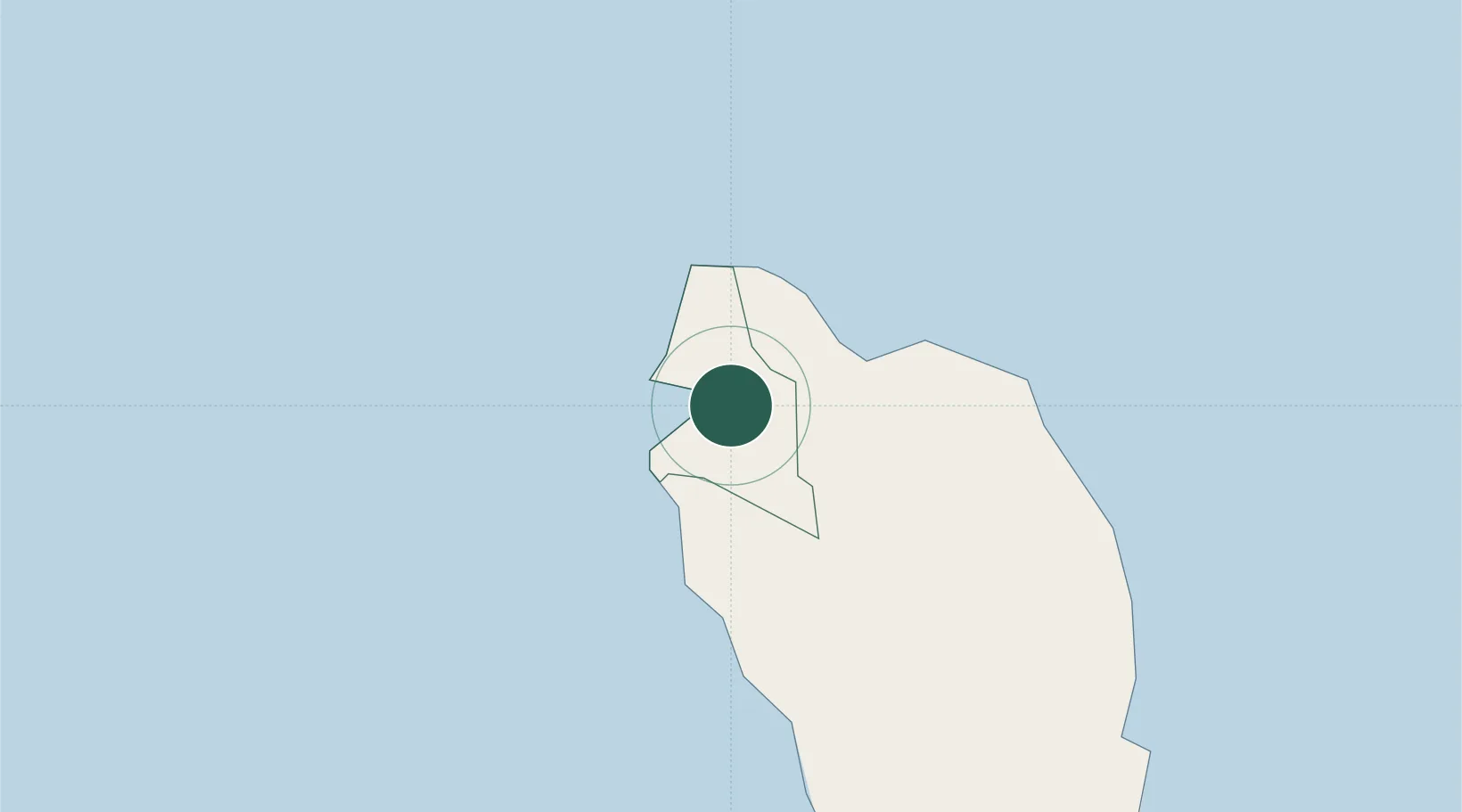
Regional capital
Region
Saint John Parish
Population
3,633
Time zone
America/Dominica
Elevation
1 m
Location
Nearby Logistics Neighbours
Cities
- 1Anse du Mai8 km
- 2Grand-Bourg39 km
- 3Folle-Anse44 km
- 4Trois-Rivières49 km
- 5Capesterre-Belle-Eau55 km
Ports
- 1Roseau30 km
- 2Basse Terre57 km
- 3Pointe A Pitre75 km
- 4Port Louis95 km
- 5Fort De France115 km
Airports
DatabookThe Record of Consolidated Knowledge
Dominica beyond logistics?