Large airport · Guadeloupe
Maryse Condé International AirportTFFR
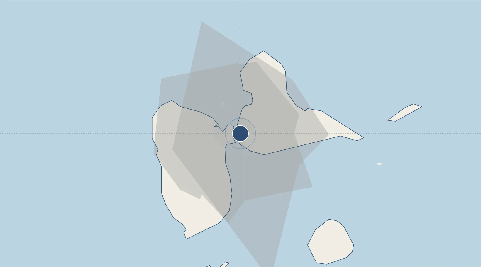
16.2654°, -61.5328°
11,499 ft
Longest runway
1
Runways
36 ft
Elevation
Runway & Layout

Radio Frequencies
ATIS
127.6 MHz
TWR
118.4 MHz
RAIZET TWR
GND
121.85 MHz
APP
121.3 MHz
RAIZET APP
Navaids
PPR VOR-DME Pointe A Pitre 112.90 MHz
PTP NDB Pointe A Pitre 385 kHz
Runways · 1
| Runway | Dimensions | Surface | True heading | Lit |
|---|---|---|---|---|
| 12/30 | 11,499 × 148ft | Asphalt | 101° | ✓ |
Airport Specifications
IATA code
PTP
ICAO code
TFFR
Airport class
Large airport
Scheduled service
Yes
Runway surface
Asphalt
Served city
Pointe-à-Pitre
Location
Nearby Logistics Neighbours
Airports
- 1St-François Airport29 km
- 2Basse-Terre Baillif Airport36 km
- 3La Désirade Airport48 km
- 4Marie-Galante Airport52 km
- 5Douglas-Charles Airport84 km
Cities
- 1Pointe-à-Pitre4 km
- 2Jarry4 km
- 3Les Abymes4 km
- 4Baie-Mahault5 km
- 5Le Gosier9 km
Ports
- 1Pointe A Pitre4 km
- 2Port Louis17 km
- 3Basse Terre37 km
- 4Portsmouth78 km
- 5St Johns101 km