UN/LOCODE hub · Guadeloupe
GPCBE

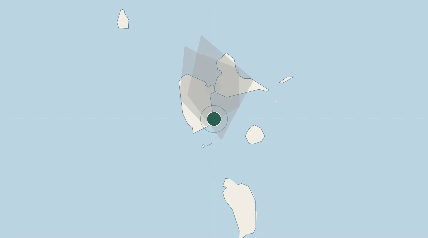
Capesterre-Belle-Eau

16.0500°, -61.5500°
19,821
Population
2
Transport functions

Transport Functions

Port
Multimodal
UN/LOCODE

Hub Profile

Place type
Populated place
GeoNames
Region
Guadeloupe
GeoNames
Population
19,821
GeoNames
Time zone
America/Guadeloupe
GeoNames
Elevation
17 m
GeoNames

Location

Location of GPCBE
Natural Earth 10m (public domain) · Guadeloupe · GPCBE · 16.05, -61.55GoogleOSMYandex

Nearby Logistics Neighbours

Cities
  1. 1Trois-Rivières13 km
  2. 2Petit-Bourg15 km
  3. 3Le Gosier18 km
  4. 4Baillif20 km
  5. 5Basse-Terre20 km
Nearest neighbours — logibook spatial index (haversine) over the source coordinates
Ports
  1. 1Basse Terre20 km
  2. 2Pointe A Pitre21 km
  3. 3Port Louis41 km
  4. 4Portsmouth55 km
  5. 5Roseau85 km
Nearest neighbours — logibook spatial index (haversine) over the source coordinates
Airports
  1. 1Basse-Terre Baillif Airport21 km
  2. 2Maryse Condé International Airport24 km
  3. 3Marie-Galante Airport36 km
  4. 4St-François Airport38 km
  5. 5La Désirade Airport57 km
Nearest neighbours — logibook spatial index (haversine) over the source coordinates

All Sources

LocationsUN/LOCODE
UN/LOCODE — free
LocationsGeoNames
CC BY 4.0
Portsthe NGA World Port Index
Public domain (US gov)
AirportsOurAirports
Public domain
Trade Zonesthe World Bank SEZ database
CC BY 4.0
Trade ZonesOpen Zone Map
CC BY
← Guadeloupe locations