Channel & Berth Profile
Facilities & Capabilities
Container—
Ro-Ro—
Liquid bulk—
Dry bulk—
Oil terminal—
Break bulk—
Dry dock—
Repairs—
Bunkering—
Rail link—
Dangerous cargo—
ISPS security—
Harbour Specifications
Harbour size
Very Small
Harbour type
Open Roadstead
Shelter
Poor
Water body
Caribbean Sea; North Atlantic Ocean
Tidal range
1 m
Overhead limit
No
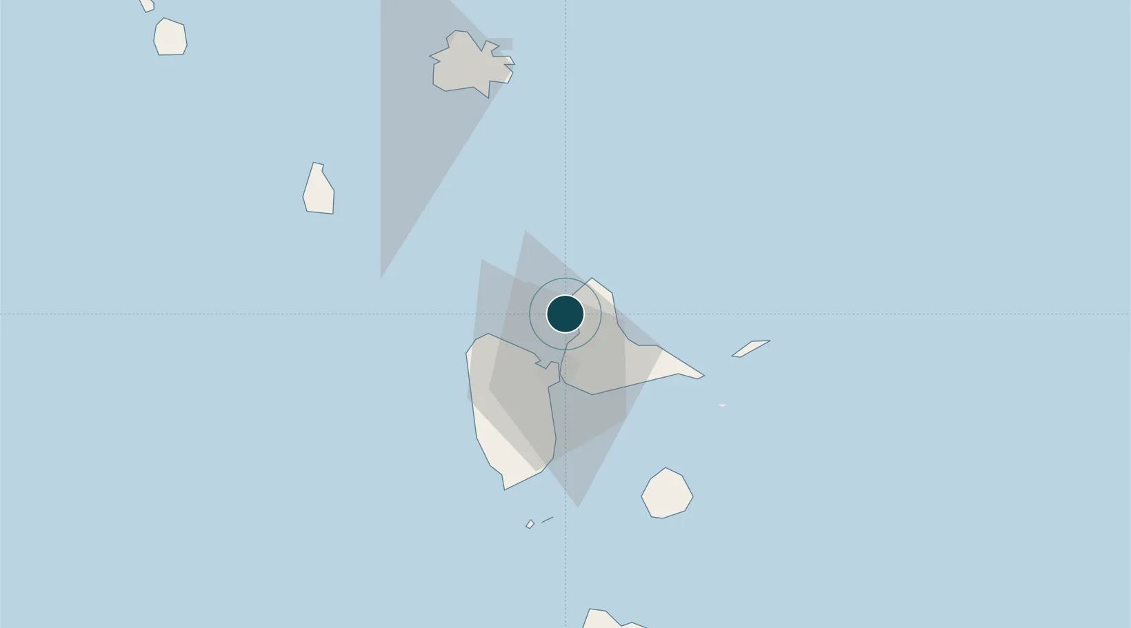
Location
Nearby Logistics Neighbours
Ports
- 1Pointe A Pitre20 km
- 2Basse Terre51 km
- 3St Johns85 km
- 4Portsmouth95 km
- 5Roseau125 km
Cities
- 1Anse-Bertrand6 km
- 2Les Abymes15 km
- 3Baie-Mahault18 km
- 4Pointe-à-Pitre20 km
- 5Jarry21 km
Airports
- 1Maryse Condé International Airport17 km
- 2St-François Airport34 km
- 3La Désirade Airport50 km
- 4Basse-Terre Baillif Airport50 km
- 5Marie-Galante Airport67 km