Transport Functions
Port
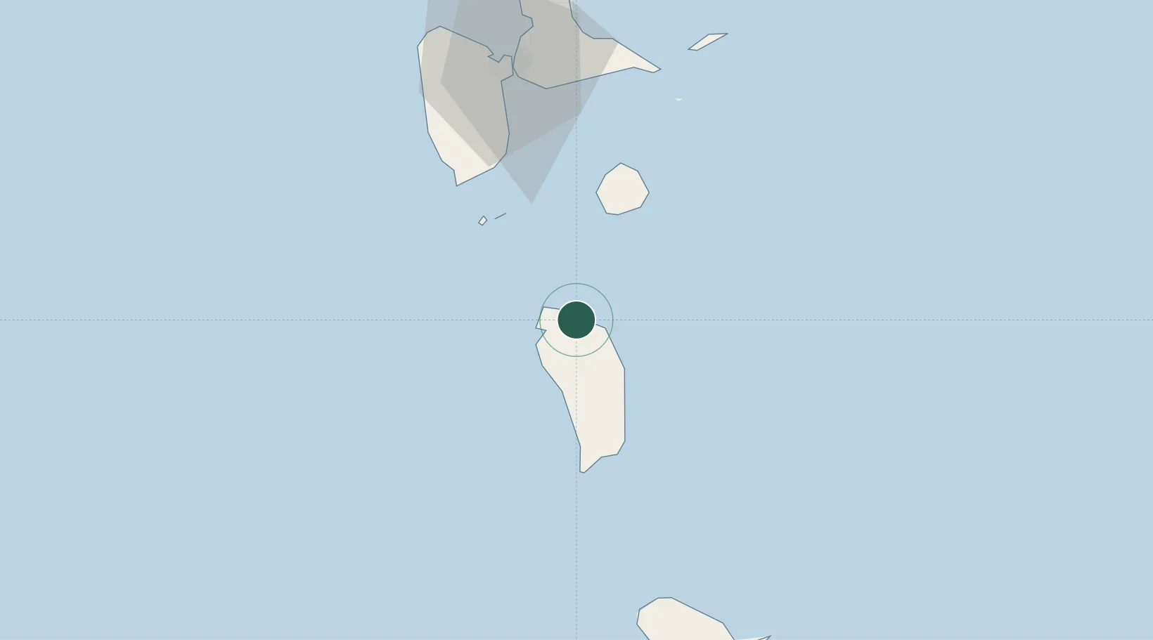
Location
Nearby Logistics Neighbours
Cities
- 1Portsmouth8 km
- 2Grand-Bourg33 km
- 3Folle-Anse39 km
- 4Trois-Rivières49 km
- 5Capesterre-Belle-Eau53 km
Ports
- 1Portsmouth10 km
- 2Roseau33 km
- 3Basse Terre58 km
- 4Pointe A Pitre72 km
- 5Port Louis92 km
Airports
- 1Douglas-Charles Airport11 km
- 2Canefield Airport29 km
- 3Marie-Galante Airport32 km
- 4Basse-Terre Baillif Airport60 km
- 5St-François Airport74 km
DatabookThe Record of Consolidated Knowledge
Dominica beyond logistics?