UN/LOCODE hub · Guadeloupe
GPFAE

Folle-Anse

15.9500°, -61.3333°
2
Transport functions

Transport Functions

Port
Road
UN/LOCODE

Hub Profile

Place type
Populated place
GeoNames
Time zone
America/Guadeloupe
GeoNames
Elevation
1 m
GeoNames

Location

Location of GPFAE
Natural Earth 10m (public domain) · Guadeloupe · GPFAE · 15.95, -61.33GoogleOSMYandex

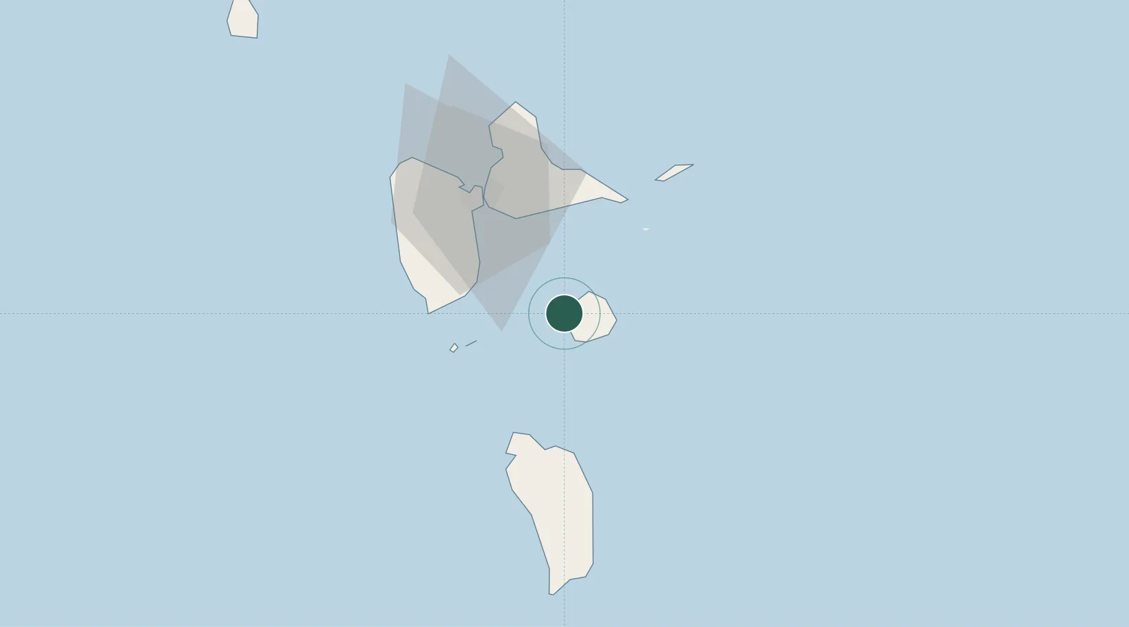
Nearby Logistics Neighbours

Cities
  1. 1Grand-Bourg8 km
  2. 2Capesterre-Belle-Eau26 km
  3. 3Le Gosier32 km
  4. 4Trois-Rivières32 km
  5. 5Saint-François34 km
Nearest neighbours — logibook spatial index (haversine) over the source coordinates
Ports
  1. 1Pointe A Pitre38 km
  2. 2Basse Terre43 km
  3. 3Portsmouth45 km
  4. 4Port Louis56 km
  5. 5Roseau73 km
Nearest neighbours — logibook spatial index (haversine) over the source coordinates
Airports
  1. 1Marie-Galante Airport11 km
  2. 2St-François Airport35 km
  3. 3Maryse Condé International Airport41 km
  4. 4Basse-Terre Baillif Airport44 km
  5. 5Douglas-Charles Airport45 km
Nearest neighbours — logibook spatial index (haversine) over the source coordinates

All Sources

LocationsUN/LOCODE
UN/LOCODE — free
Portsthe NGA World Port Index
Public domain (US gov)
AirportsOurAirports
Public domain
Trade Zonesthe World Bank SEZ database
CC BY 4.0
Trade ZonesOpen Zone Map
CC BY
← Guadeloupe locations