UN/LOCODE hub · Guadeloupe
GPTRS
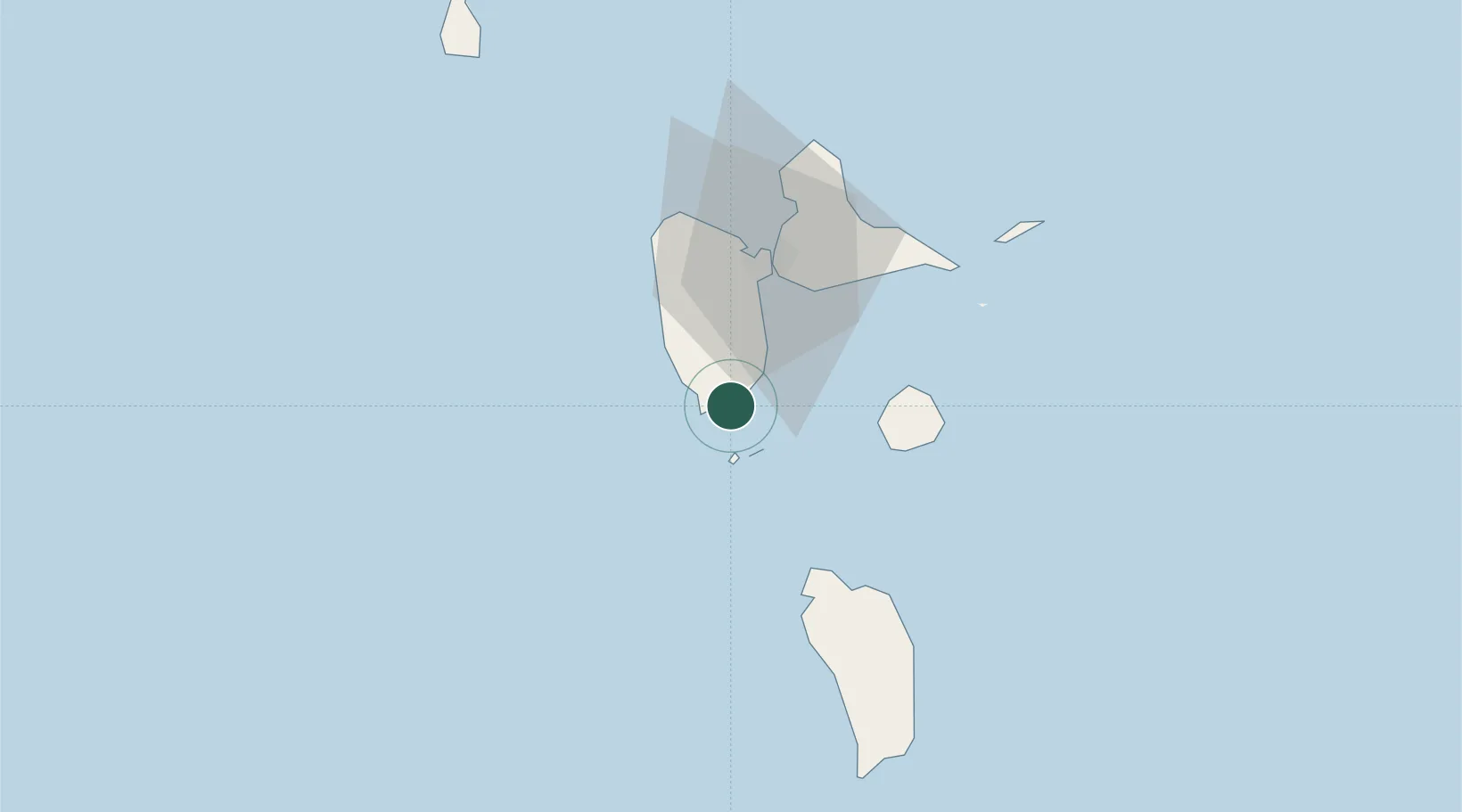
Trois-Rivières
15.9667°, -61.6333°
8,812
Population
1
Transport functions
Transport Functions
Multimodal
Hub Profile
Place type
Populated place
Region
Guadeloupe
Population
8,812
Time zone
America/Guadeloupe
Elevation
110 m
Location
Nearby Logistics Neighbours
Cities
- 1Basse-Terre11 km
- 2Capesterre-Belle-Eau13 km
- 3Baillif13 km
- 4Bouillante23 km
- 5Petit-Bourg25 km
Ports
- 1Basse Terre11 km
- 2Pointe A Pitre32 km
- 3Portsmouth48 km
- 4Port Louis51 km
- 5Roseau78 km
Airports