UN/LOCODE hub · Guadeloupe
GPGRB
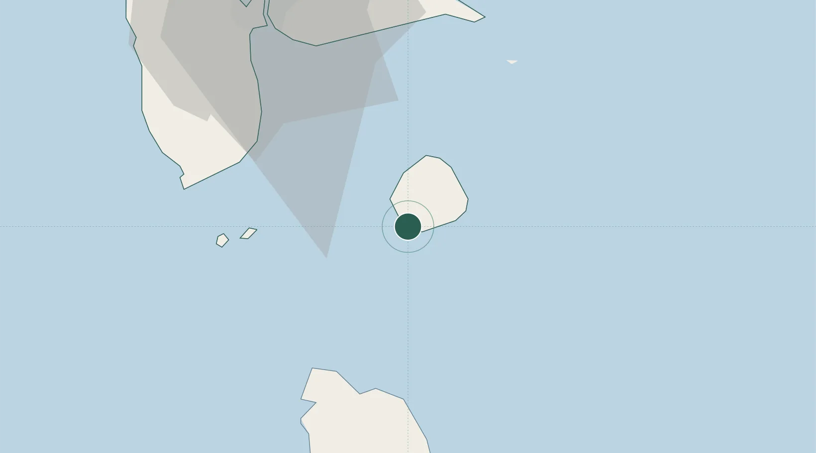
Grand-Bourg
15.8833°, -61.3000°
5,867
Population
1
Transport functions
Transport Functions
Port
Hub Profile
Place type
Populated place
Region
Guadeloupe
Population
5,867
Time zone
America/Guadeloupe
Elevation
7 m
Location
Nearby Logistics Neighbours
Cities
- 1Folle-Anse8 km
- 2Capesterre-Belle-Eau33 km
- 3Anse du Mai33 km
- 4Trois-Rivières37 km
- 5Portsmouth39 km
Ports
- 1Portsmouth40 km
- 2Pointe A Pitre46 km
- 3Basse Terre48 km
- 4Port Louis64 km
- 5Roseau66 km
Airports