UN/LOCODE hub · Denmark
DKAAK

Fanoe

55.4333°, 8.3833°
1
Transport functions

Transport Functions

Multimodal
UN/LOCODE

Hub Profile

Region
83
GeoNames

Location

Location of DKAAK
Natural Earth 10m (public domain) · 83 · DKAAK · 55.43, 8.38GoogleOSMYandex

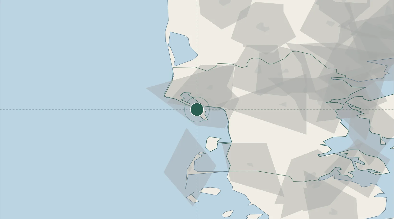
Nearby Logistics Neighbours

Cities
  1. 1Esbjerg5 km
  2. 2Hjerting9 km
  3. 3Blavand20 km
  4. 4Oksbol23 km
  5. 5Aarre23 km
Nearest neighbours — logibook spatial index (haversine) over the source coordinates
Ports
  1. 1Esbjerg6 km
  2. 2Kolding71 km
  3. 3Ringkobing73 km
  4. 4Haderslev74 km
  5. 5Skaerbaek78 km
Nearest neighbours — logibook spatial index (haversine) over the source coordinates
Airports
  1. 1Esbjerg Airport15 km
  2. 2Westerland Sylt Airport58 km
  3. 3Billund Airport59 km
  4. 4Kolding Vamdrup Airfield60 km
  5. 5Skrydstrup Air Base61 km
Nearest neighbours — logibook spatial index (haversine) over the source coordinates
Trade Zones
  1. 1Freeport of Kiel168 km
  2. 2Freeport of Cuxhaven (Freihafen Cuxhaven)179 km
  3. 3Freeport of Emden246 km
  4. 4Freeport of Bremerhaven (Freihafen Bremerhaven)262 km
  5. 5Freeport of Copenhagen- Nordhavn267 km
Nearest neighbours — logibook spatial index (haversine) over the source coordinates
DatabookThe Record of Consolidated Knowledge
Denmark beyond logistics?
Browse databook

All Sources

LocationsUN/LOCODE
UN/LOCODE — free
Portsthe NGA World Port Index
Public domain (US gov)
AirportsOurAirports
Public domain
Trade Zonesthe World Bank SEZ database
CC BY 4.0
Trade ZonesOpen Zone Map
CC BY
← Denmark locations