Transport Functions
Port
Rail
Road
Airport
Hub Profile
Place type
Provincial seat
Region
South Denmark
Population
71,698
Time zone
Europe/Copenhagen
Elevation
17 m
Logistics facilities
1
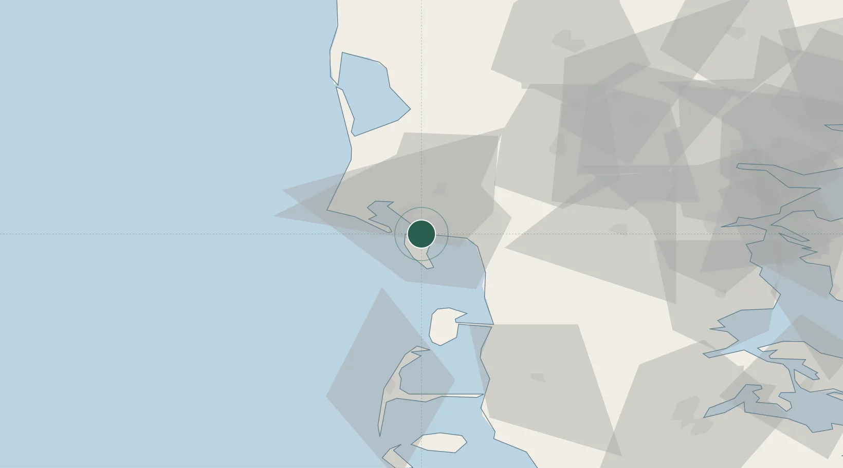
Location
Nearby Logistics Neighbours
Ports
- 1Kolding67 km
- 2Ringkobing70 km
- 3Haderslev72 km
- 4Skaerbaek75 km
- 5Vejle76 km
Airports
- 1Esbjerg Airport10 km
- 2Billund Airport55 km
- 3Kolding Vamdrup Airfield57 km
- 4Stauning Vestjylland Airport59 km
- 5Skrydstrup Air Base59 km
Trade Zones
DatabookThe Record of Consolidated Knowledge
Denmark beyond logistics?