Transport Functions
Rail
Road
Multimodal
Hub Profile
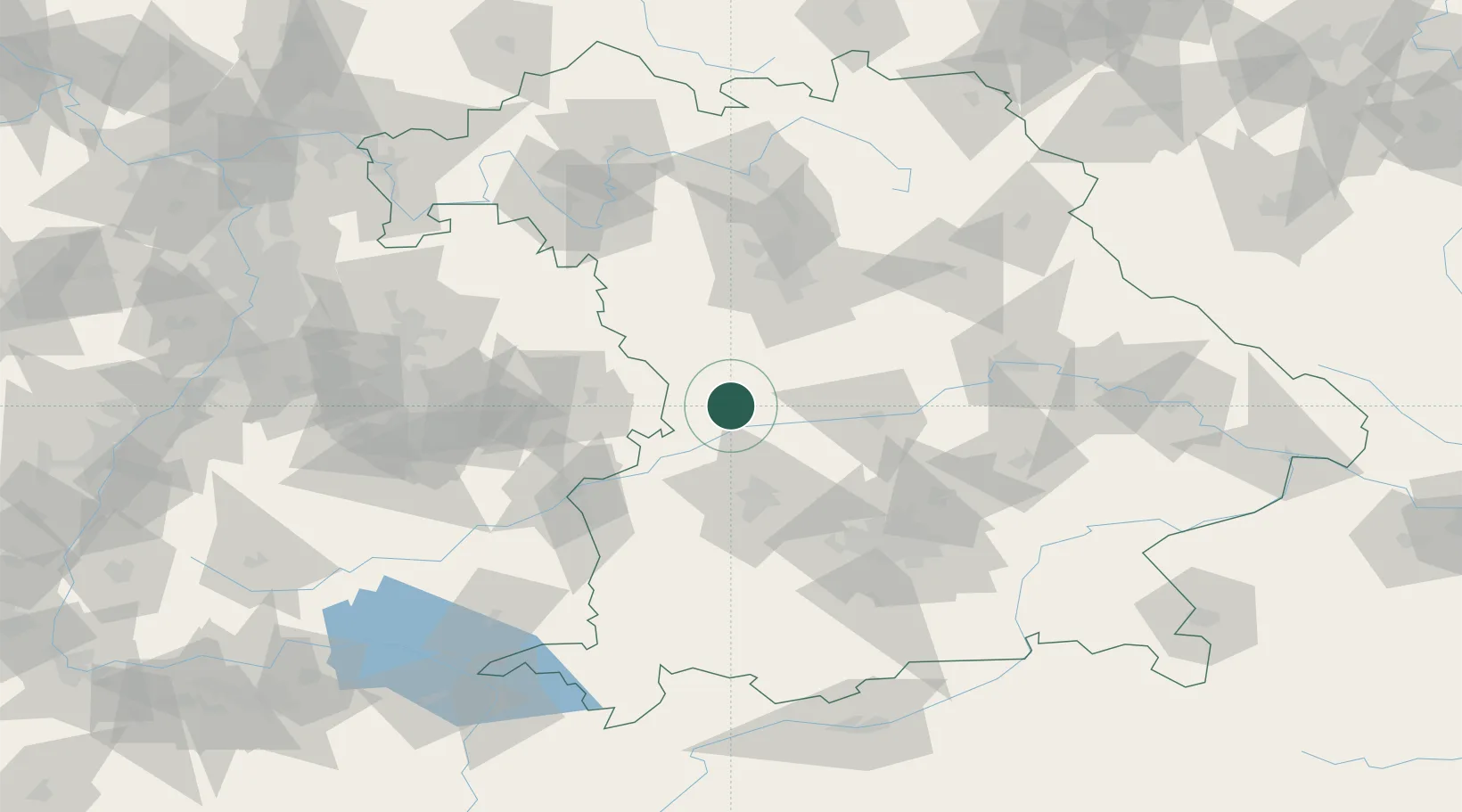
Region
BY
Location
Nearby Logistics Neighbours
Cities
- 1Huisheim5 km
- 2Monheim5 km
- 3Buchdorf6 km
- 4Bischberg-Trosdorf12 km
- 5Mönchsdeggingen14 km
Ports
- 1Nogaro385 km
- 2Grado396 km
- 3Monfalcone397 km
- 4Porto Di Lido-Venezia399 km
- 5Porto Di Chioggia415 km
Airports
- 1Neuburg Air Base35 km
- 2Augsburg Airport45 km
- 3Ingolstadt Manching Airport57 km
- 4Altstetten Ultralight Field68 km
- 5Lechfeld Air Base71 km
Trade Zones
- 1Freeport of Deggendorf157 km
- 2ZFU Neuhof223 km
- 3ZFU Hautepierre227 km
- 4Podbořany Industrial Zone247 km
- 5Livigno Free Trade Zone259 km
DatabookThe Record of Consolidated Knowledge
Germany beyond logistics?