UN/LOCODE hub · Germany
DEMGG
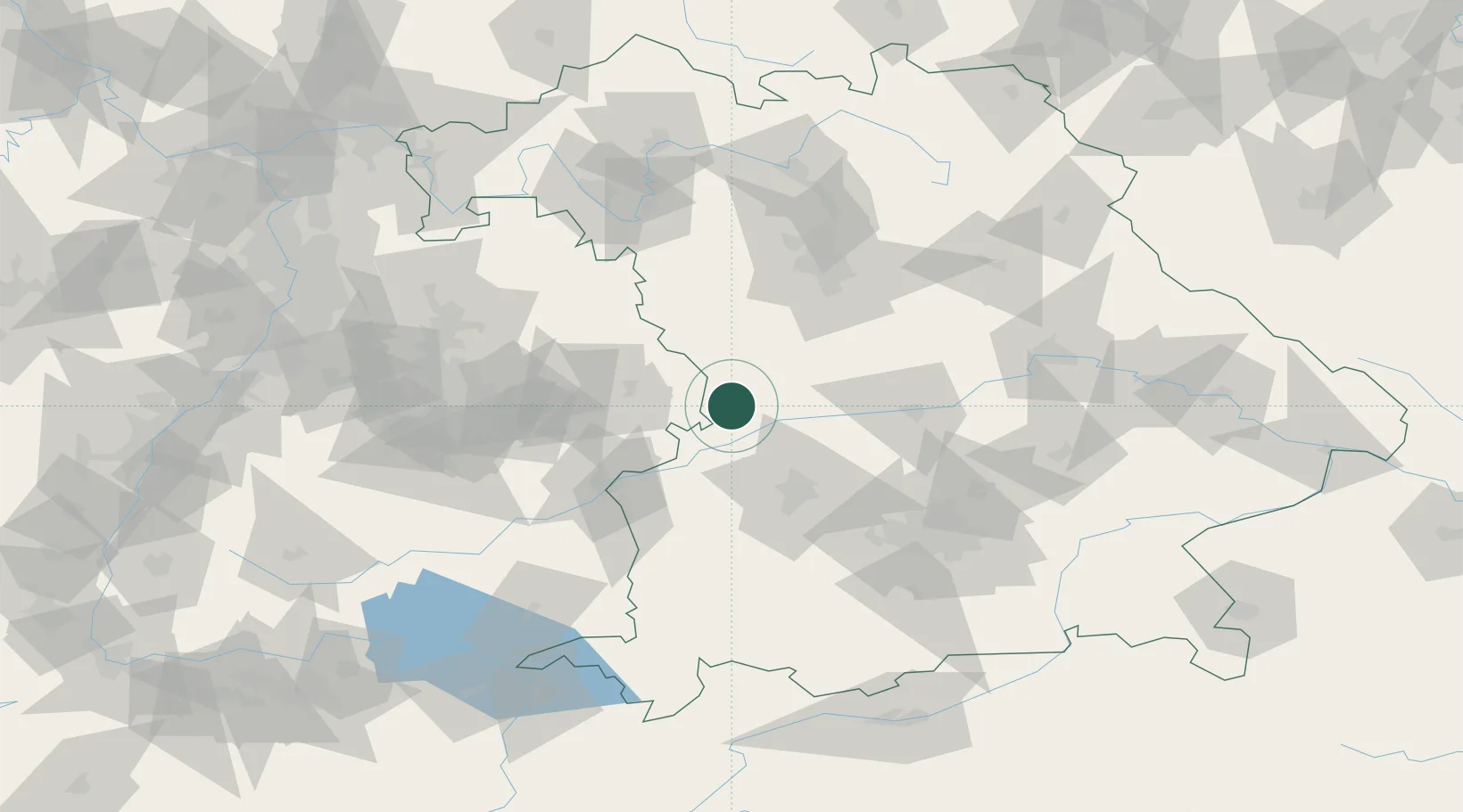
Mönchsdeggingen
48.7833°, 10.5833°
1,497
Population
1
Transport functions
Transport Functions
Multimodal
Hub Profile
Place type
Local administrative seat
Region
Bavaria
Population
1,497
Time zone
Europe/Berlin
Elevation
434 m
Location
Nearby Logistics Neighbours
Cities
- 1Reimlingen6 km
- 2Huisheim9 km
- 3Riesbürg12 km
- 4Fünfstetten14 km
- 5Tapfheim14 km
Ports
- 1Nogaro389 km
- 2Porto Di Lido-Venezia400 km
- 3Grado400 km
- 4Monfalcone402 km
- 5Porto Di Chioggia416 km
Airports
- 1Neuburg Air Base47 km
- 2Augsburg Airport47 km
- 3Adolf Würth Airport69 km
- 4Lechfeld Air Base70 km
- 5Ingolstadt Manching Airport70 km
Trade Zones
- 1Freeport of Deggendorf170 km
- 2ZFU Neuhof209 km
- 3ZFU Hautepierre213 km
- 4Livigno Free Trade Zone253 km
- 5Podbořany Industrial Zone259 km
DatabookThe Record of Consolidated Knowledge
Germany beyond logistics?