UN/LOCODE hub · Germany
DEZFB

Bischberg-Trosdorf

48.9167°, 10.8333°
1
Transport functions

Transport Functions

Multimodal
UN/LOCODE

Hub Profile

Region
BY
GeoNames

Location

Location of DEZFB
Natural Earth 10m (public domain) · BY · DEZFB · 48.92, 10.83GoogleOSMYandex

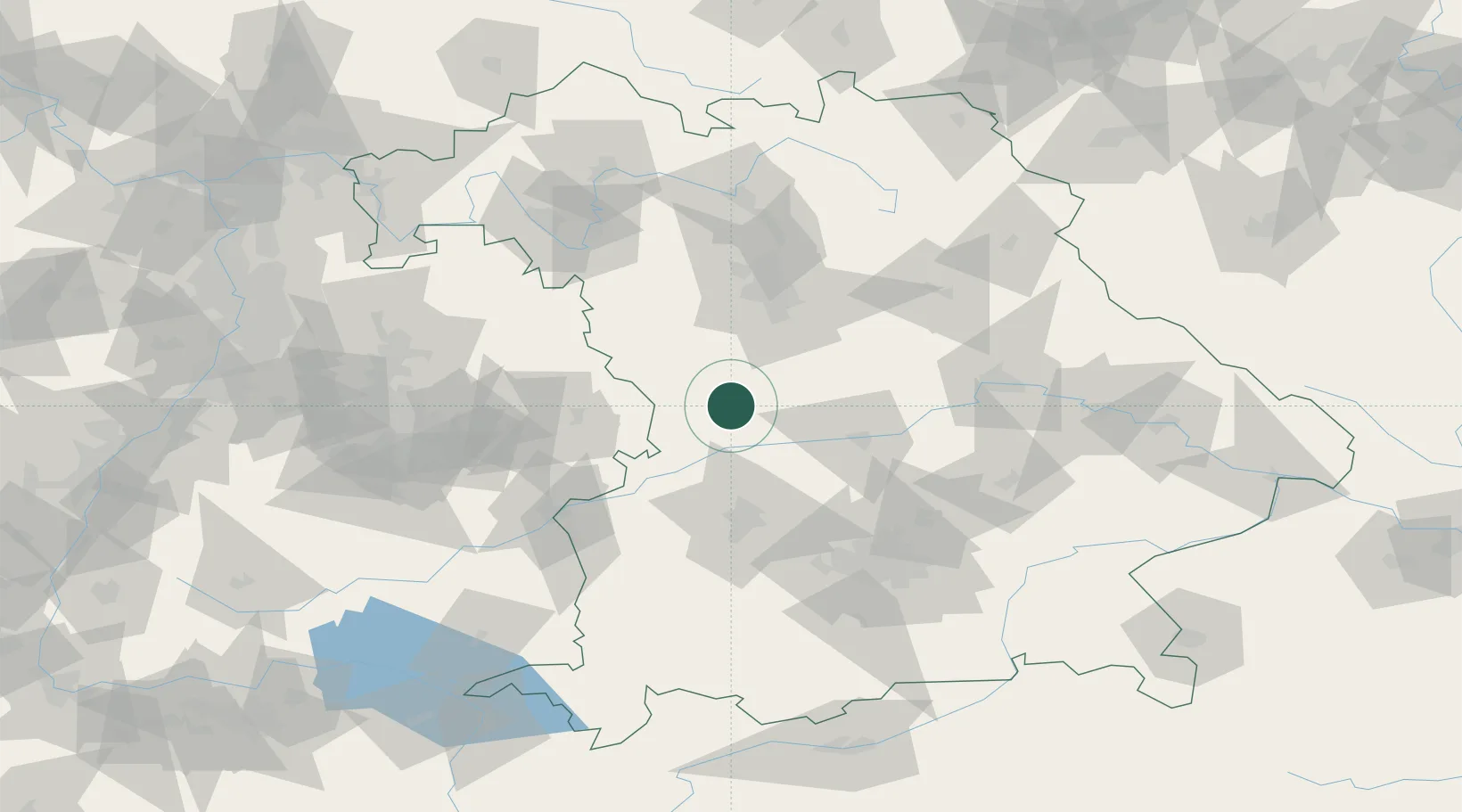
Nearby Logistics Neighbours

Cities
  1. 1Bubenheim8 km
  2. 2Monheim9 km
  3. 3Lengenfeld10 km
  4. 4Fünfstetten12 km
  5. 5Heidenheim13 km
Nearest neighbours — logibook spatial index (haversine) over the source coordinates
Ports
  1. 1Nogaro393 km
  2. 2Grado403 km
  3. 3Monfalcone404 km
  4. 4Porto Di Lido-Venezia408 km
  5. 5Porto Di Chioggia424 km
Nearest neighbours — logibook spatial index (haversine) over the source coordinates
Airports
  1. 1Neuburg Air Base36 km
  2. 2Augsburg Airport55 km
  3. 3Ingolstadt Manching Airport56 km
  4. 4Nuremberg Airport67 km
  5. 5Altstetten Ultralight Field76 km
Nearest neighbours — logibook spatial index (haversine) over the source coordinates
Trade Zones
  1. 1Freeport of Deggendorf152 km
  2. 2ZFU Neuhof229 km
  3. 3ZFU Hautepierre233 km
  4. 4Podbořany Industrial Zone236 km
  5. 5Žatec - Triangle Strategic Industrial Zone254 km
Nearest neighbours — logibook spatial index (haversine) over the source coordinates
DatabookThe Record of Consolidated Knowledge
Germany beyond logistics?
Browse databook

All Sources

LocationsUN/LOCODE
UN/LOCODE — free
Portsthe NGA World Port Index
Public domain (US gov)
AirportsOurAirports
Public domain
Trade Zonesthe World Bank SEZ database
CC BY 4.0
Trade ZonesOpen Zone Map
CC BY
← Germany locations