Transport Functions
Rail
Road
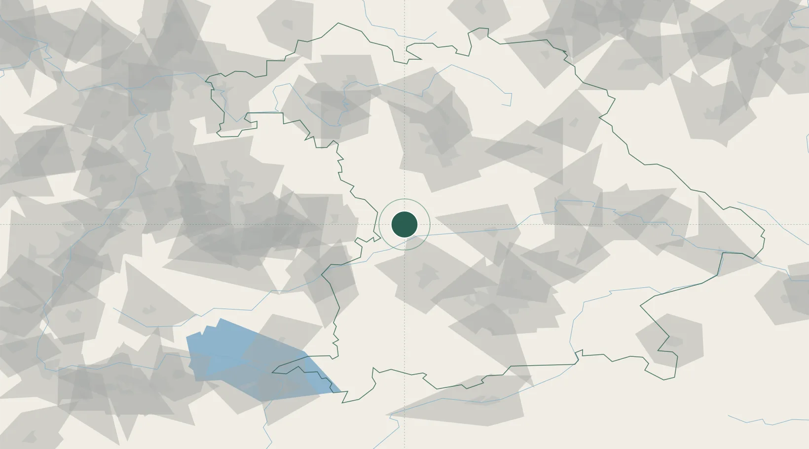
Hub Profile
Place type
Local administrative seat
Region
Bavaria
Population
1,663
Time zone
Europe/Berlin
Elevation
446 m
Location
Nearby Logistics Neighbours
Cities
- 1Fünfstetten5 km
- 2Mönchsdeggingen9 km
- 3Monheim10 km
- 4Buchdorf10 km
- 5Reimlingen13 km
Ports
- 1Nogaro388 km
- 2Grado398 km
- 3Monfalcone400 km
- 4Porto Di Lido-Venezia400 km
- 5Porto Di Chioggia417 km
Airports
- 1Neuburg Air Base39 km
- 2Augsburg Airport47 km
- 3Ingolstadt Manching Airport62 km
- 4Lechfeld Air Base71 km
- 5Altstetten Ultralight Field71 km
Trade Zones
- 1Freeport of Deggendorf161 km
- 2ZFU Neuhof218 km
- 3ZFU Hautepierre222 km
- 4Podbořany Industrial Zone250 km
- 5Livigno Free Trade Zone258 km
DatabookThe Record of Consolidated Knowledge
Germany beyond logistics?