Transport Functions
Port
Rail
Road
Hub Profile
Region
BB
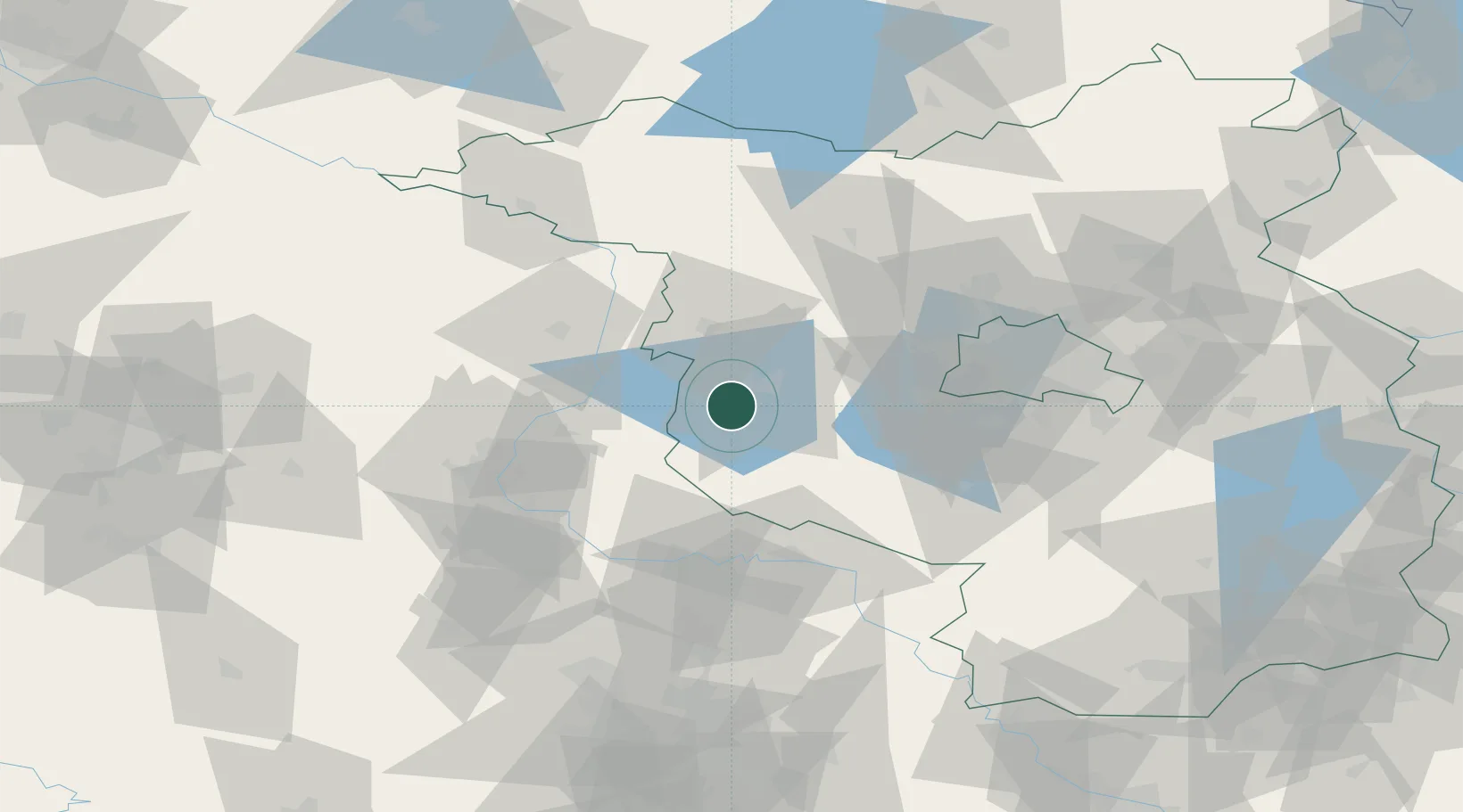
Location
Nearby Logistics Neighbours
Cities
- 1Wusterwitz2 km
- 2Rogäsen6 km
- 3Brandenburg11 km
- 4Bücknitz13 km
- 5Havelsee13 km
Airports
- 1Zerbst Airfield45 km
- 2Berlin Brandenburg Airport74 km
- 3Holzdorf Air Base84 km
- 4Leipzig/Halle Airport106 km
- 5Braunschweig-Wolfsburg Airport127 km
Trade Zones
- 1Kostrzyń-Słubice SEZ153 km
- 2Szczecin Duty Free Zone186 km
- 3Swinoujscie Duty Free Zone211 km
- 4Most - Joseph Industrial Zone226 km
- 5Žatec - Triangle Strategic Industrial Zone232 km
DatabookThe Record of Consolidated Knowledge
Germany beyond logistics?