Transport Functions
Multimodal
Hub Profile
Place type
Populated place
Region
Thuringia
Population
4,288
Time zone
Europe/Berlin
Elevation
242 m
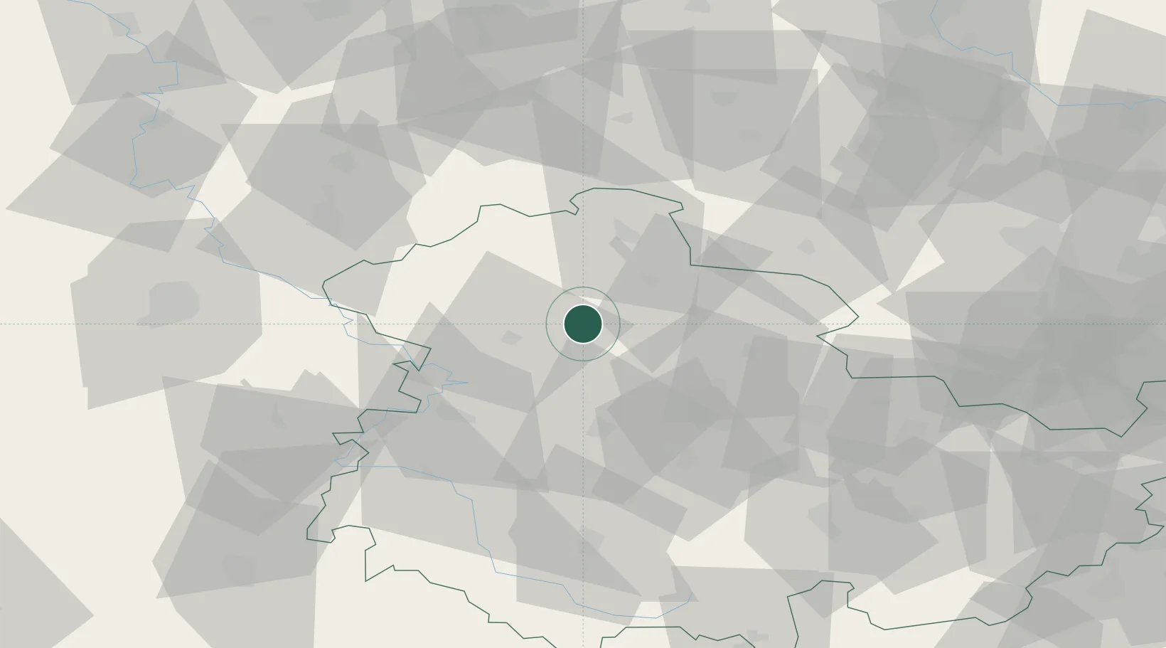
Location
Nearby Logistics Neighbours
Cities
- 1Menteroda10 km
- 2Grossengottern13 km
- 3Bad Langensalza15 km
- 4Mühlhausen16 km
- 5Deuna18 km
Airports
- 1Eisenach-Kindel Airport32 km
- 2Erfurt-Weimar Airport37 km
- 3Kassel Airport91 km
- 4Fritzlar Army Airfield97 km
- 5Leipzig/Halle Airport110 km
Trade Zones
DatabookThe Record of Consolidated Knowledge
Germany beyond logistics?