Transport Functions
Multimodal
Hub Profile
Place type
Local administrative seat
Region
Thuringia
Population
2,344
Time zone
Europe/Berlin
Elevation
184 m
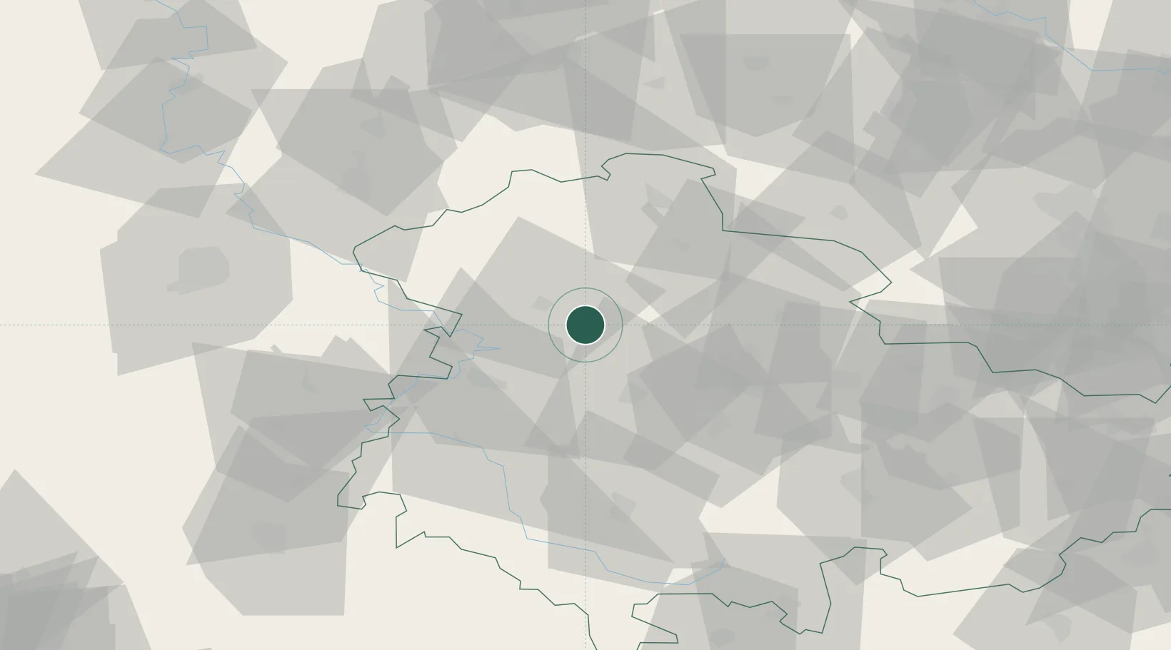
Location
Nearby Logistics Neighbours
Cities
- 1Bad Langensalza5 km
- 2Eckardtsleben12 km
- 3Mühlhausen12 km
- 4Schlotheim13 km
- 5Aschara13 km
Airports
- 1Eisenach-Kindel Airport19 km
- 2Erfurt-Weimar Airport33 km
- 3Kassel Airport88 km
- 4Fritzlar Army Airfield91 km
- 5Leipzig/Halle Airport119 km
Trade Zones
DatabookThe Record of Consolidated Knowledge
Germany beyond logistics?