Transport Functions
Rail
Road
Hub Profile
Place type
Populated place
Region
Bavaria
Time zone
Europe/Berlin
Elevation
219 m
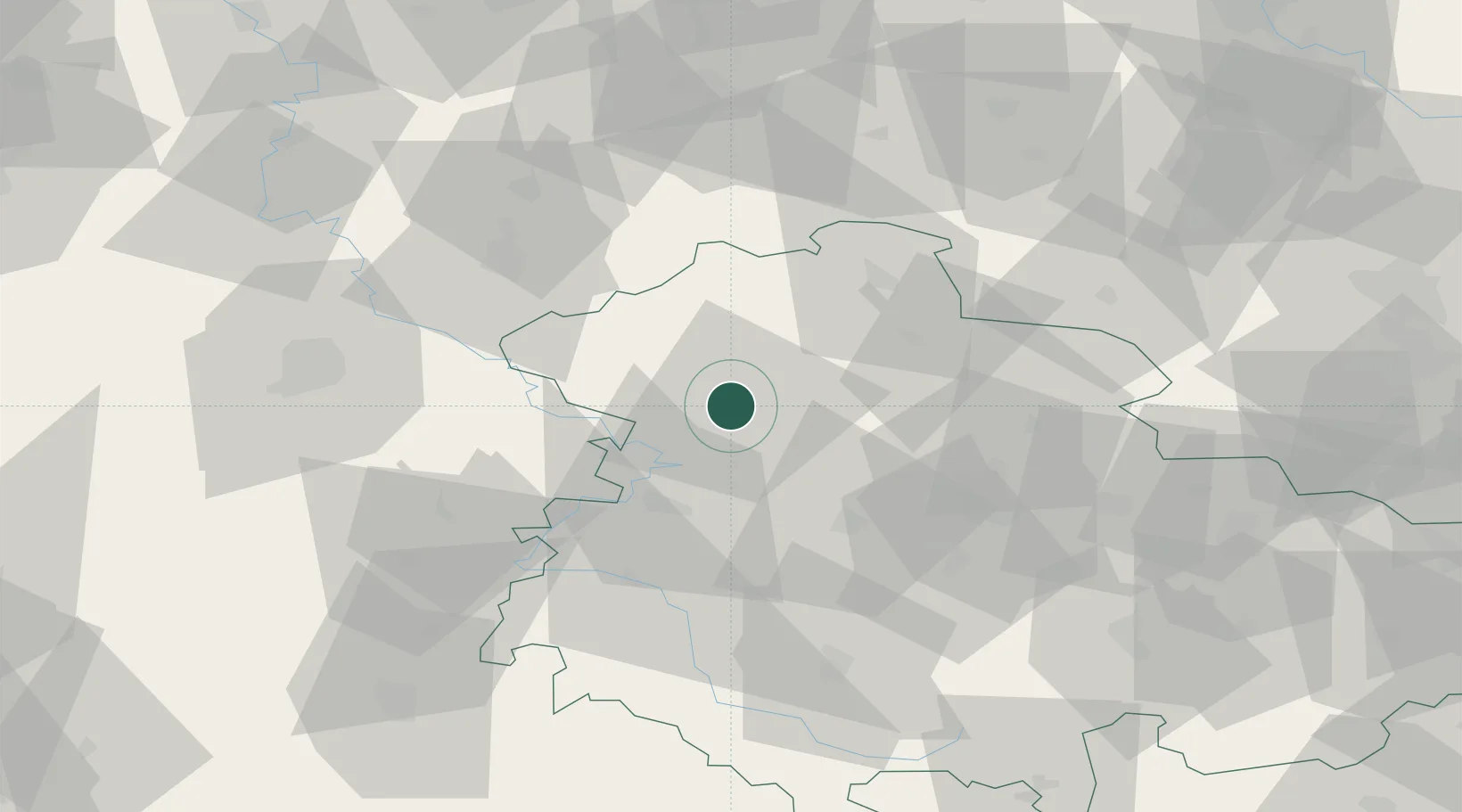
Location
Nearby Logistics Neighbours
Cities
- 1Rodeberg10 km
- 2Menteroda12 km
- 3Grossengottern12 km
- 4Dingelstädt13 km
- 5Deuna15 km
Airports
- 1Eisenach-Kindel Airport25 km
- 2Erfurt-Weimar Airport44 km
- 3Kassel Airport77 km
- 4Fritzlar Army Airfield82 km
- 5Braunschweig-Wolfsburg Airport123 km
Trade Zones
DatabookThe Record of Consolidated Knowledge
Germany beyond logistics?