UN/LOCODE hub · Germany
DEBLZ
Bad Langensalza
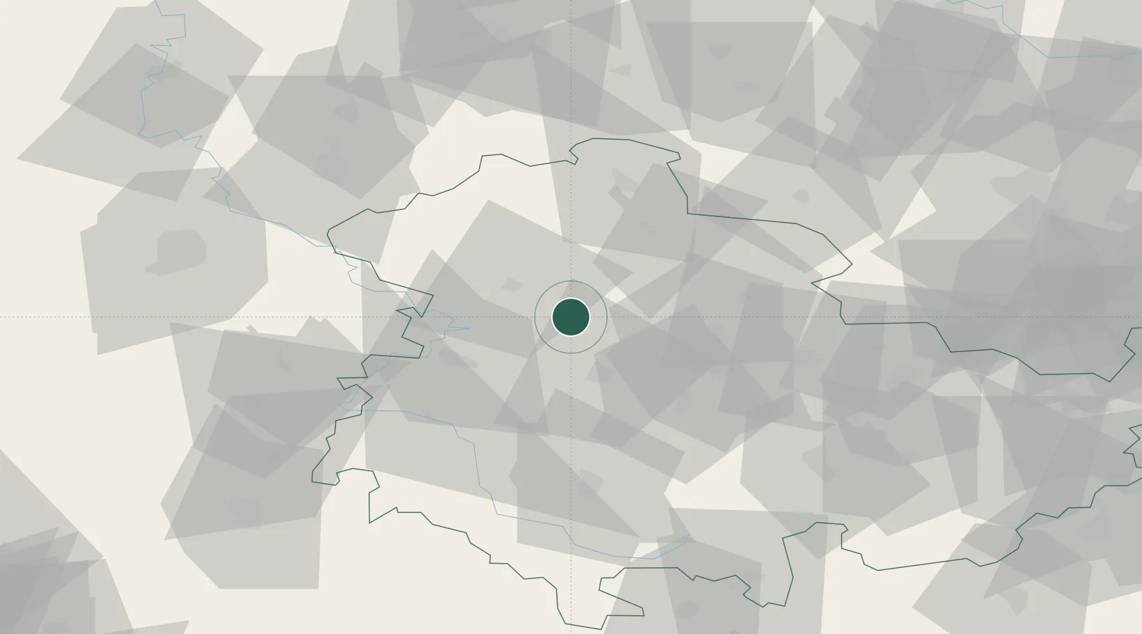
51.1167°, 10.6333°
18,183
Population
2
Transport functions
Transport Functions
Rail
Road
Hub Profile
Place type
Populated place
Region
Thuringia
Population
18,183
Time zone
Europe/Berlin
Elevation
192 m
Location
Nearby Logistics Neighbours
Cities
- 1Grossengottern5 km
- 2Eckardtsleben7 km
- 3Aschara8 km
- 4Eschenbergen13 km
- 5Herbsleben14 km
Airports
- 1Eisenach-Kindel Airport18 km
- 2Erfurt-Weimar Airport28 km
- 3Kassel Airport93 km
- 4Fritzlar Army Airfield94 km
- 5Leipzig/Halle Airport116 km
Trade Zones
DatabookThe Record of Consolidated Knowledge
Germany beyond logistics?