Transport Functions
Road
Multimodal
Hub Profile
Place type
Local administrative seat
Region
Rheinland-Pfalz
Population
2,283
Time zone
Europe/Berlin
Elevation
120 m
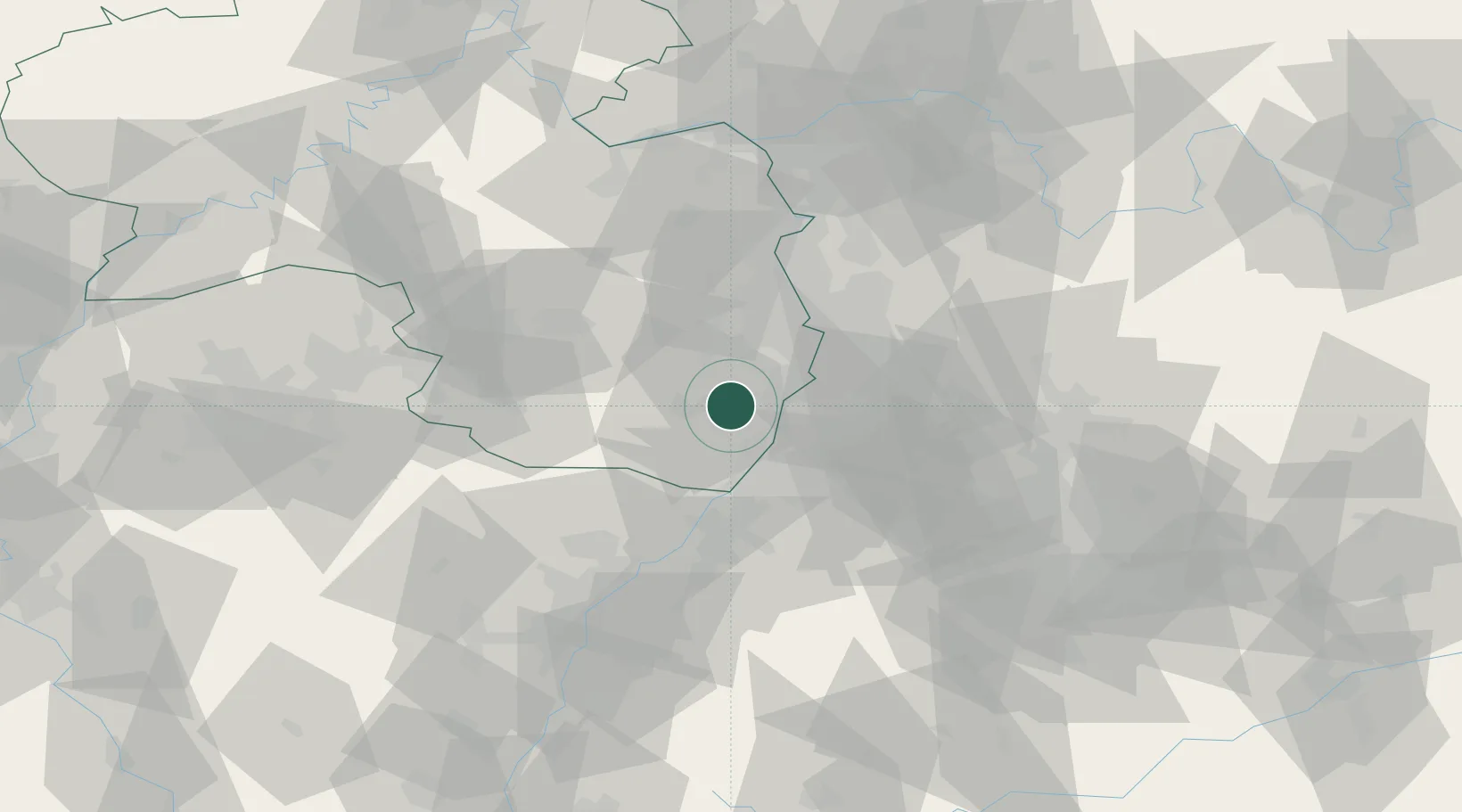
Location
Nearby Logistics Neighbours
Cities
- 1Hochstadt3 km
- 2Niederhochstadt4 km
- 3Lustadt4 km
- 4Offenbach an der Queich5 km
- 5Walsheim8 km
Airports
- 1Mannheim-City Airport35 km
- 2Karlsruhe Baden-Baden Airport50 km
- 3Ramstein Air Base52 km
- 4Saarbrücken Airport82 km
- 5Mainz-Finthen Airfield84 km
Trade Zones
- 1ZFU Hautepierre80 km
- 2ZFU Neuhof83 km
- 3ZFU La Cité Behren-lès-Forbach95 km
- 4ZFU Metz151 km
- 5ZFU Woippy-Metz152 km
DatabookThe Record of Consolidated Knowledge
Germany beyond logistics?