UN/LOCODE hub · Germany
DEODQ

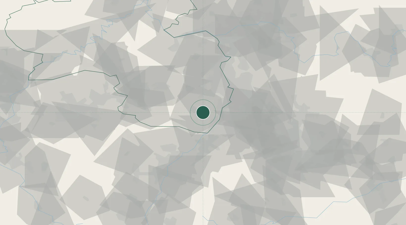
Offenbach an der Queich

49.1833°, 8.1833°
6,097
Population
1
Transport functions

Transport Functions

Multimodal
UN/LOCODE

Hub Profile

Place type
Local administrative seat
GeoNames
Region
Rheinland-Pfalz
GeoNames
Population
6,097
GeoNames
Time zone
Europe/Berlin
GeoNames
Elevation
129 m
GeoNames

Location

Location of DEODQ
Natural Earth 10m (public domain) · Rheinland-Pfalz · DEODQ · 49.18, 8.18GoogleOSMYandex

Nearby Logistics Neighbours

Cities
  1. 1Landau in der Pfalz5 km
  2. 2Zeiskam5 km
  3. 3Hochstadt6 km
  4. 4Walsheim7 km
  5. 5Roschbach7 km
Nearest neighbours — logibook spatial index (haversine) over the source coordinates
Ports
  1. 1Bruxelles332 km
  2. 2Antwerpen352 km
  3. 3Dordrecht385 km
  4. 4Hansweert389 km
  5. 5Rotterdam399 km
Nearest neighbours — logibook spatial index (haversine) over the source coordinates
Airports
  1. 1Mannheim-City Airport40 km
  2. 2Karlsruhe Baden-Baden Airport46 km
  3. 3Ramstein Air Base51 km
  4. 4Saarbrücken Airport78 km
  5. 5Strasbourg Airport82 km
Nearest neighbours — logibook spatial index (haversine) over the source coordinates
Trade Zones
  1. 1ZFU Hautepierre75 km
  2. 2ZFU Neuhof78 km
  3. 3ZFU La Cité Behren-lès-Forbach91 km
  4. 4ZFU Metz147 km
  5. 5ZFU Woippy-Metz148 km
Nearest neighbours — logibook spatial index (haversine) over the source coordinates
DatabookThe Record of Consolidated Knowledge
Germany beyond logistics?
Browse databook

All Sources

LocationsUN/LOCODE
UN/LOCODE — free
LocationsGeoNames
CC BY 4.0
Portsthe NGA World Port Index
Public domain (US gov)
AirportsOurAirports
Public domain
Trade Zonesthe World Bank SEZ database
CC BY 4.0
Trade ZonesOpen Zone Map
CC BY
← Germany locations