Transport Functions
Rail
Road
Hub Profile
Place type
Local administrative seat
Region
Rheinland-Pfalz
Population
3,291
Time zone
Europe/Berlin
Elevation
119 m
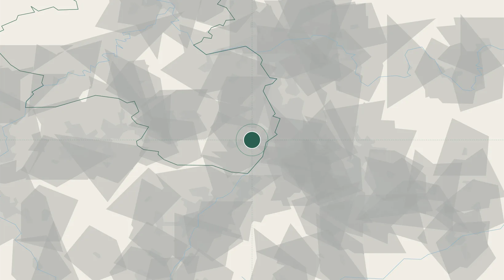
Location
Nearby Logistics Neighbours
Cities
- 1Niederhochstadt4 km
- 2Schwegenheim4 km
- 3Zeiskam4 km
- 4Lingenfeld5 km
- 5Hochstadt5 km
Airports
- 1Mannheim-City Airport31 km
- 2Ramstein Air Base53 km
- 3Karlsruhe Baden-Baden Airport54 km
- 4Mainz-Finthen Airfield80 km
- 5Frankfurt-Egelsbach Airport84 km
Trade Zones
- 1ZFU Hautepierre84 km
- 2ZFU Neuhof87 km
- 3ZFU La Cité Behren-lès-Forbach98 km
- 4ZFU Metz154 km
- 5Luxembourg Free Port154 km
DatabookThe Record of Consolidated Knowledge
Germany beyond logistics?