Transport Functions
Rail
Road
Hub Profile
Place type
Local administrative seat
Region
Rheinland-Pfalz
Population
550
Time zone
Europe/Berlin
Elevation
167 m
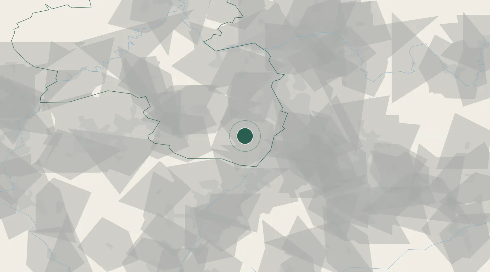
Location
Nearby Logistics Neighbours
Cities
- 1Roschbach1 km
- 2Flemlingen4 km
- 3Edesheim4 km
- 4Landau in der Pfalz4 km
- 5Hochstadt5 km
Airports
- 1Mannheim-City Airport38 km
- 2Ramstein Air Base45 km
- 3Karlsruhe Baden-Baden Airport51 km
- 4Saarbrücken Airport74 km
- 5Mainz-Finthen Airfield82 km
Trade Zones
- 1ZFU Hautepierre78 km
- 2ZFU Neuhof82 km
- 3ZFU La Cité Behren-lès-Forbach88 km
- 4ZFU Metz144 km
- 5ZFU Woippy-Metz145 km
DatabookThe Record of Consolidated Knowledge
Germany beyond logistics?