Transport Functions
Multimodal
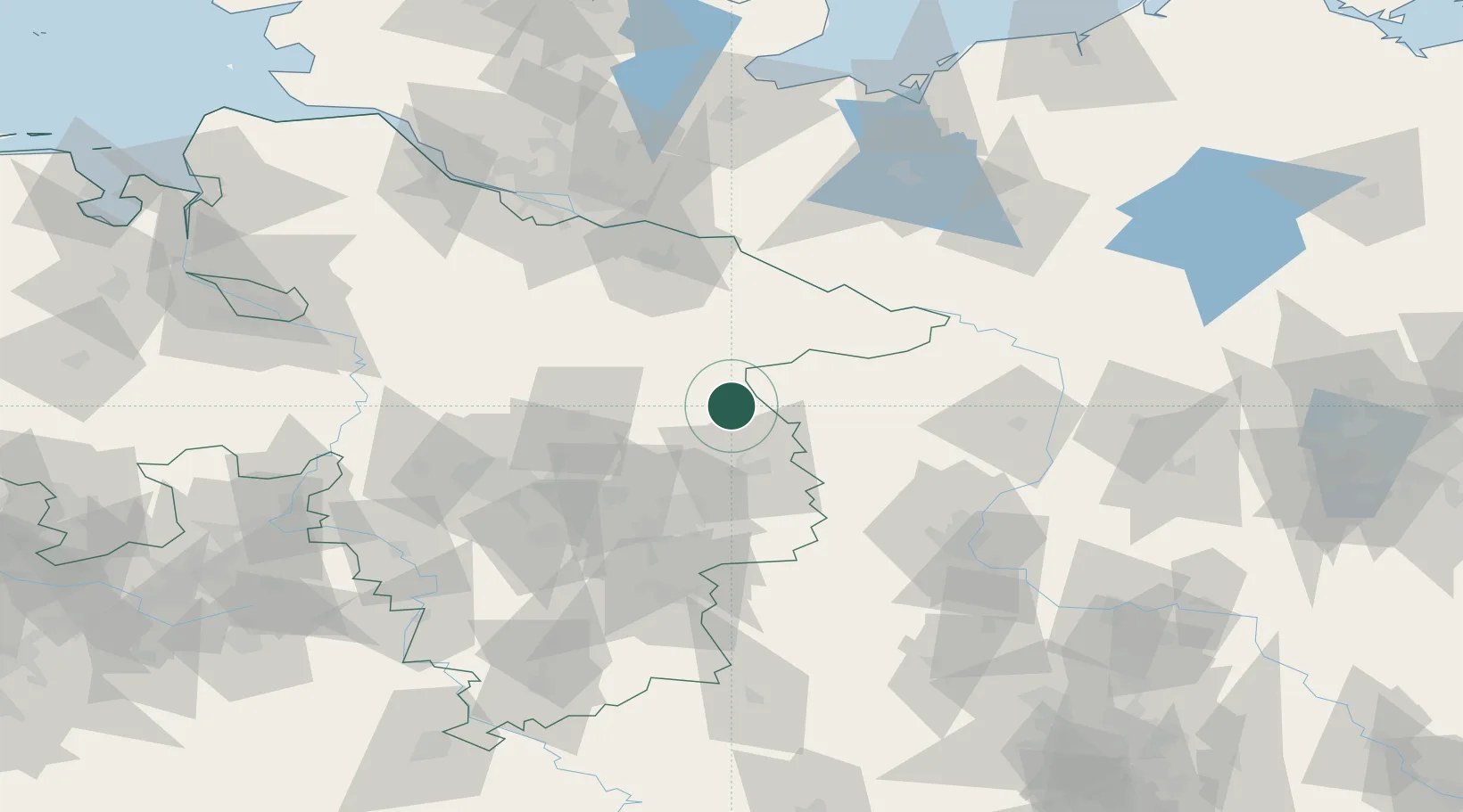
Hub Profile
Place type
Populated place
Region
Lower Saxony
Time zone
Europe/Berlin
Elevation
72 m
Location
Nearby Logistics Neighbours
Cities
- 1Wittingen6 km
- 2Schoneworde7 km
- 3Gross Oesingen16 km
- 4Bodenteich19 km
- 5Hinternah20 km
Ports
- 1Hamburg109 km
- 2Butzfleth133 km
- 3Lubeck133 km
- 4Bremen139 km
- 5Lubeck-Travemunde143 km
Airports
- 1Braunschweig-Wolfsburg Airport42 km
- 2Faßberg Air Base43 km
- 3Celle Army Airfield47 km
- 4Hannover Airport73 km
- 5Wunstorf Air Base90 km
Trade Zones
DatabookThe Record of Consolidated Knowledge
Germany beyond logistics?