Transport Functions
Road
Multimodal
Hub Profile
Place type
Local administrative seat
Region
Lower Saxony
Population
2,017
Time zone
Europe/Berlin
Elevation
77 m
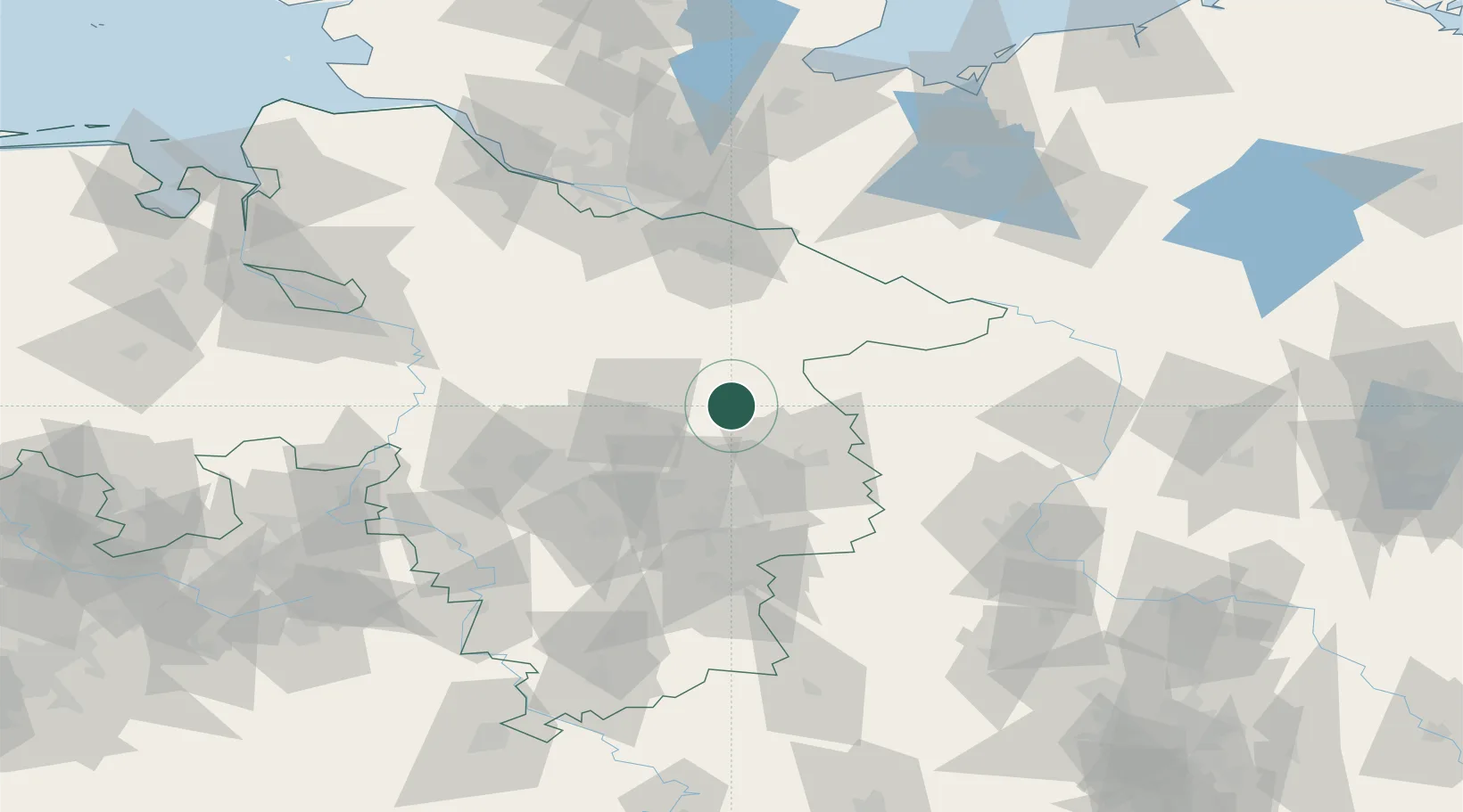
Location
Nearby Logistics Neighbours
Cities
- 1Steinhorst6 km
- 2Schoneworde11 km
- 3Knesebeck16 km
- 4Wittingen19 km
- 5Gifhorn19 km
Ports
- 1Hamburg106 km
- 2Bremen126 km
- 3Butzfleth128 km
- 4Lubeck138 km
- 5Gluckstadt144 km
Airports
- 1Celle Army Airfield31 km
- 2Faßberg Air Base35 km
- 3Braunschweig-Wolfsburg Airport37 km
- 4Hannover Airport57 km
- 5Wunstorf Air Base74 km
Trade Zones
DatabookThe Record of Consolidated Knowledge
Germany beyond logistics?