Transport Functions
Rail
Road
Hub Profile
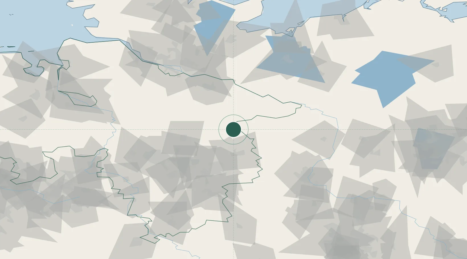
Place type
Populated place
Region
Lower Saxony
Population
12,427
Time zone
Europe/Berlin
Elevation
84 m
Location
Nearby Logistics Neighbours
Cities
- 1Knesebeck6 km
- 2Schoneworde13 km
- 3Bodenteich13 km
- 4Gross Oesingen19 km
- 5Wrestedt21 km
Ports
- 1Hamburg105 km
- 2Lubeck128 km
- 3Butzfleth130 km
- 4Lubeck-Travemunde138 km
- 5Bremen138 km
Airports
- 1Faßberg Air Base41 km
- 2Braunschweig-Wolfsburg Airport47 km
- 3Celle Army Airfield49 km
- 4Hannover Airport76 km
- 5Wunstorf Air Base92 km
Trade Zones
DatabookThe Record of Consolidated Knowledge
Germany beyond logistics?