Transport Functions
Road
Multimodal
Hub Profile
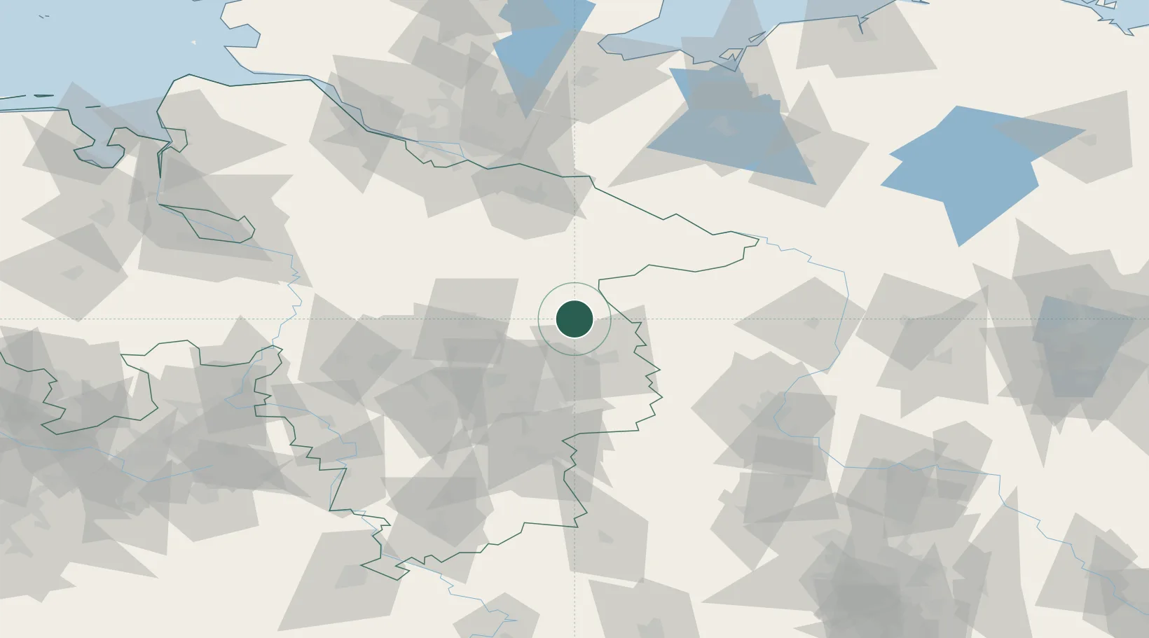
Place type
Local administrative seat
Region
Lower Saxony
Population
966
Time zone
Europe/Berlin
Elevation
61 m
Location
Nearby Logistics Neighbours
Cities
- 1Knesebeck7 km
- 2Gross Oesingen11 km
- 3Wittingen13 km
- 4Steinhorst17 km
- 5Hinternah17 km
Ports
- 1Hamburg112 km
- 2Butzfleth135 km
- 3Bremen137 km
- 4Lubeck139 km
- 5Lubeck-Travemunde149 km
Airports
- 1Braunschweig-Wolfsburg Airport35 km
- 2Celle Army Airfield42 km
- 3Faßberg Air Base44 km
- 4Hannover Airport67 km
- 5Wunstorf Air Base84 km
Trade Zones
DatabookThe Record of Consolidated Knowledge
Germany beyond logistics?