Transport Functions
Port
Rail
Road
Hub Profile
Place type
Local administrative seat
Region
Lower Saxony
Time zone
Europe/Berlin
Elevation
66 m
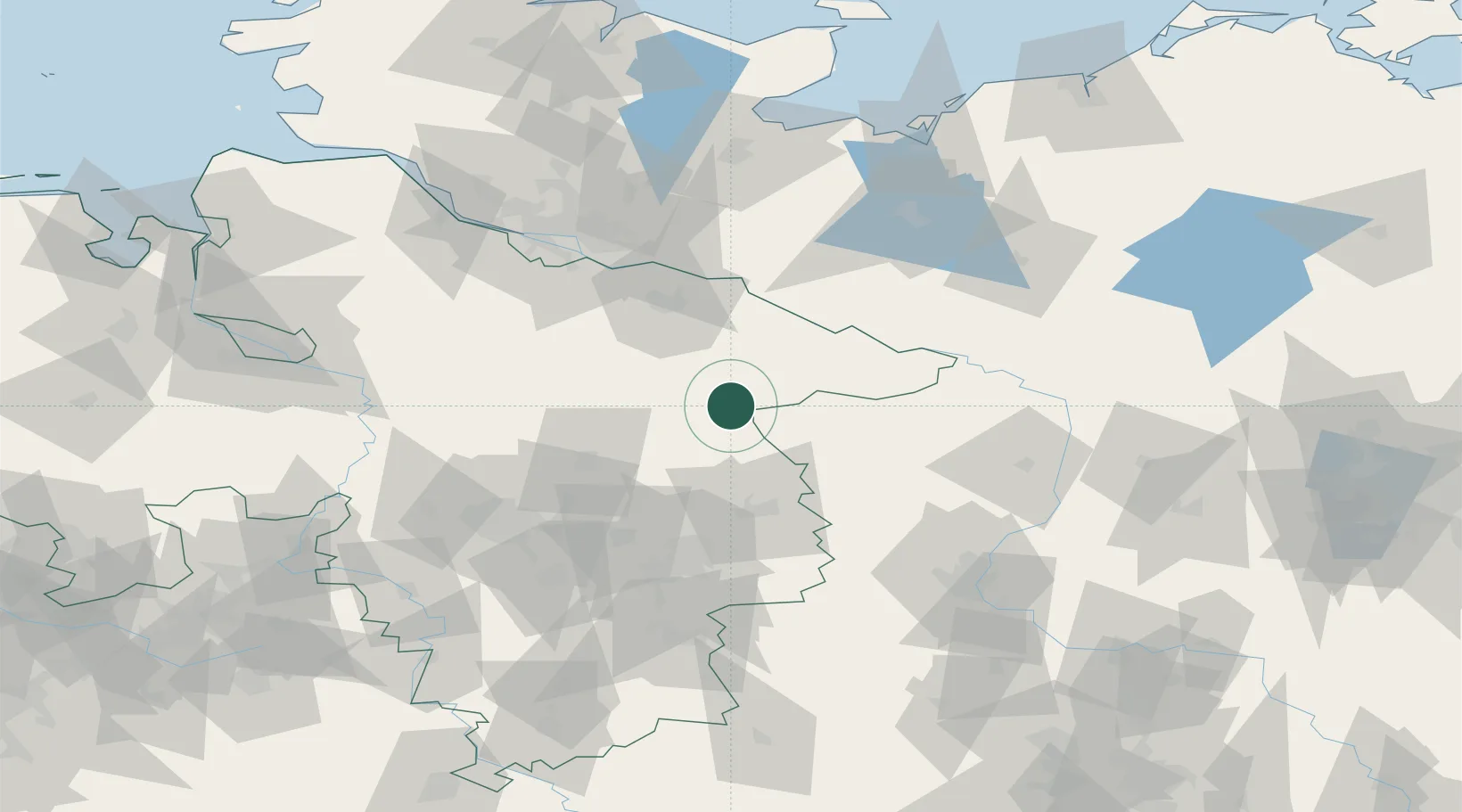
Location
Nearby Logistics Neighbours
Cities
- 1Wrestedt8 km
- 2Suhlendorf11 km
- 3Wittingen13 km
- 4Uelzen15 km
- 5Rosche16 km
Ports
- 1Hamburg92 km
- 2Lubeck115 km
- 3Butzfleth117 km
- 4Lubeck-Travemunde125 km
- 5Wismar128 km
Airports
- 1Faßberg Air Base33 km
- 2Celle Army Airfield52 km
- 3Braunschweig-Wolfsburg Airport60 km
- 4Hannover Airport79 km
- 5Hamburg-Finkenwerder Airport94 km
Trade Zones
DatabookThe Record of Consolidated Knowledge
Germany beyond logistics?