Transport Functions
Multimodal
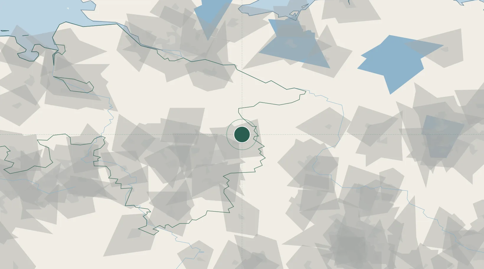
Hub Profile
Place type
Populated place
Region
Thuringia
Time zone
Europe/Berlin
Elevation
414 m
Location
Nearby Logistics Neighbours
Cities
- 1Osloss10 km
- 2Wolfsburg10 km
- 3Oebisfelde16 km
- 4Schoneworde17 km
- 5Gifhorn17 km
Airports
- 1Braunschweig-Wolfsburg Airport28 km
- 2Celle Army Airfield53 km
- 3Faßberg Air Base61 km
- 4Hannover Airport76 km
- 5Wunstorf Air Base93 km
Trade Zones
DatabookThe Record of Consolidated Knowledge
Germany beyond logistics?