Transport Functions
Rail
Road
Hub Profile
Region
HE
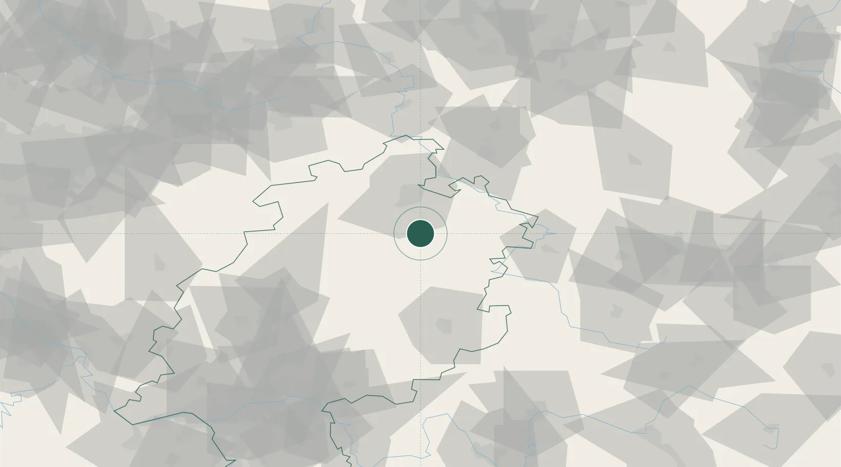
Location
Nearby Logistics Neighbours
Cities
- 1Malsfeld1 km
- 2Morschen5 km
- 3Knuellwald6 km
- 4Spangenberg9 km
- 5Alheim9 km
Airports
- 1Fritzlar Army Airfield19 km
- 2Kassel Airport39 km
- 3Eisenach-Kindel Airport66 km
- 4Paderborn Lippstadt Airport88 km
- 5Erfurt-Weimar Airport99 km
Trade Zones
- 1Freeport of Duisburg210 km
- 2Rheinische Revier SWZ223 km
- 3Freeport of Bremerhaven (Freihafen Bremerhaven)230 km
- 4ZFU La Cité Behren-lès-Forbach283 km
- 5Luxembourg Free Port286 km
DatabookThe Record of Consolidated Knowledge
Germany beyond logistics?